Flat 1, 13 Cleveland Road, Bradford, BD9 4PB
About Flat 1
Flat 1 is a mid-terrace house in Bradford (BD9 4PB). It has a recorded floor area of 181 m² (around 1948 sq ft), construction records dating it to 1900-1929 and council tax band C. The latest certificate (March 2017) shows a D (score 58), a step below the typical UK home. The recommended improvements would push it to C (score 79).
Everything you need to know about Flat 1
The true value, the hidden risks and the full sale history, in one report.
30-day money-back guarantee

The data behind every report


Energy performance
Flat 1's carbon output runs well above what efficient homes in the postcode produce.
EPC Rating
Planning history
Flat 1 has no planning applications on record.
Notable planning nearby
5applications of note in the surrounding area
We flagged 1 thing worth checking at Flat 1
Independent checks surfaced things a buyer would want to understand before offering. The report explains each one in full, with the underlying data and what to ask.
- Signs of HMO activity in the area
30-day money-back guarantee
Sales history & valuation
Flat 1 has no Land Registry sales on file, suggesting it has stayed in the same hands since registration began.
£217,000
Modelled from EPC, postcode comparables.
No sales recorded with HM Land Registry
That can mean the property has never traded since the registry began publishing in 1995, was a new build that hasn't been registered yet, or is held in the same hands long-term.
Median price across the last 5 sales in BD9 4PB: £220,000 (2025–2020).
Nearby sales in BD9 4PB
Versus other Cleveland Road homes
Habitable Rooms for Flat 1 runs comfortably ahead of the street norm.
EPC Rating
58 (D)
Street avg 52 (E)
Floor Area
181 m²
Street avg 209 m²
CO₂ Emissions
9.1 t/year
Street avg 11.9 t/year
Habitable Rooms
11 rooms
Street avg 8 rooms
Everything you need to know about Flat 1
The true value, the hidden risks and the full sale history, in one report.
30-day money-back guarantee
The data behind every report
Similar properties nearby
Flat 1, 1 Park View Road
BD9 4PA
Apartment 1, 21 North Park Road
BD9 4NT
Apartment 4, 21 North Park Road
BD9 4NT
Beechcliffe House, Flat 10, 16 Park Drive
BD9 4DR
Beechcliffe House, Flat 9, 16 Park Drive
BD9 4DR
Beechcliffe House, Flat 3, 16 Park Drive
BD9 4DR
Apartment 2, 21 North Park Road
BD9 4NT
Apartment 5, 2 North Park Road
BD9 4NB
The neighbourhood at a glance
Reported crime in the wider district is trending notably upward year-on-year.
Crime
8/mo
Rising year-on-year across the wider district.
Nearest stop
0.1 km
Park View Rd North Park Road — bus stop.
Closest school
0.5 km
Westbourne Primary School. 55 schools nearby.
Go deeper on the local area
The full report breaks down crime, transport links, schools and air quality in depth.
Road noise across the postcode
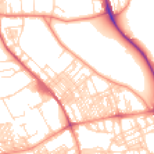
Daytime· 07:00 – 23:00
54.0dB

Night-time· 23:00 – 07:00
42.2dB