60 Heaton Grove, Bradford, BD9 4DU
About 60 Heaton Grove
60 Heaton Grove is a detached house in Bradford (BD9 4DU). It has a recorded floor area of 124 m² (around 1335 sq ft), construction records dating it to 1900-1929 and council tax band E. The latest certificate (February 2020) shows a C (score 70). The recommended improvements would push it to B (score 81).
Its energy rating outperforms most of the postcode (better than 80% of similar EPCs). Across 2009–2023, sale prices on this property compounded at 2.5% per year. Today's modelled estimate of £264,000 is 14.8% above the 2023 sale price. On a £-per-square-foot basis, the last sale (£172/sq ft) was about 32.4% above the typical sold price in the postcode. Sold March 2023 for £230,000.
Everything you need to know about 60 Heaton Grove
The true value, the hidden risks and the full sale history, in one report.
30-day money-back guarantee

The data behind every report


Energy performance
EPC Rating
Planning history
60 Heaton Grove has no planning applications on record.
Notable planning nearby
5applications of note in the surrounding area
We flagged 1 thing worth checking at 60 Heaton Grove
Independent checks surfaced things a buyer would want to understand before offering. The report explains each one in full, with the underlying data and what to ask.
- Signs of HMO activity in the area
30-day money-back guarantee
Sales history & valuation
60 Heaton Grove valuation sits well clear of the typical sold price in this postcode.
£264,000
Modelled from EPC, postcode comparables and a sale-price growth of 2.5% per year over 13 years.
£230,000
Growth on file: 2.5% per year over 13 years.
Sales timeline
28 March 2023Most recent
£230,000
+39.4%over 13 years6 October 2009
£165,000
Median price across the last 5 sales in BD9 4DU: £255,000 (2022–2012).
Versus other Heaton Grove homes
On years held, 60 Heaton Grove runs well behind the street norm.
Price per m²
£1,855
Street avg £1,819
Floor Area
124 m²
Street avg 151 m²
Habitable Rooms
4 rooms
Street avg 6 rooms
CO₂ Emissions
4.6 t/year
Street avg 6.6 t/year
Everything you need to know about 60 Heaton Grove
The true value, the hidden risks and the full sale history, in one report.
30-day money-back guarantee
The data behind every report
Similar properties nearby
The neighbourhood at a glance
Rail-style transport is unusually close for this postcode.
Crime
8/mo
Rising year-on-year across the wider district.
Nearest stop
0.1 km
Lynthorne Road — bus stop.
Closest school
0.4 km
Frizinghall Primary School. 47 schools nearby.
Go deeper on the local area
The full report breaks down crime, transport links, schools and air quality in depth.
Road noise across the postcode
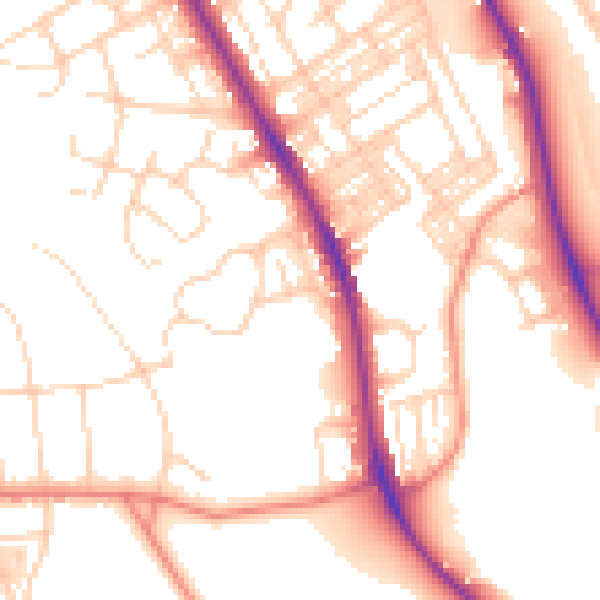
Daytime· 07:00 – 23:00
53.3dB

Night-time· 23:00 – 07:00
43.2dB