1 Ashfield Grove, Bradford, BD9 4EP
About 1 Ashfield Grove
1 Ashfield Grove is a detached house in Bradford (BD9 4EP). It has a recorded floor area of 241 m² (around 2594 sq ft), construction records dating it to 1930-1949 and council tax band E. The latest certificate (June 2016) shows a D (score 56), a step below the typical UK home. When first surveyed in May 2016 the rating was E, the property has climbed 1 band since. Between certificates, wall efficiency dropped from Poor to Very Poor. The recommended improvements would push it to C (score 80). The latest certificate is from June 2016, so improvements made since then won't be reflected.
Held since July 2001 — that's 25 years off the open market, well above the local norm. At 241 m² the property is well over the postcode median (80 m² across 9 EPCs), placing it in the larger end of the local stock. Across 2000–2001, sale prices on this property compounded at 24.5% per year. Today's modelled estimate of £367,000 sits 203.3% above the 2001 sale of £121,000. On a £-per-square-foot basis, the last sale (£47/sq ft) was about 72% below the postcode norm. 3 planning records sit against the property, 1 approved, 1 refused. Past consents include an extension, meaningful when judging how the property has evolved.
Everything you need to know about 1 Ashfield Grove
The true value, the hidden risks and the full sale history, in one report.
30-day money-back guarantee

The data behind every report


Energy performance
1 Ashfield Grove's carbon output runs well above what efficient homes in the postcode produce.
EPC Expired
This certificate is over 10 years old and is no longer valid.Expired 05 Jun 2026
EPC Rating
Property Improvements
Changes detected from historical EPC data
Heating controls upgraded for better temperature management
Planning history
- Oct 2009ExtensionFullIn report
Extension: Two storey · Side of property
Construction of two storey side extension with garage conversion with first floor extension over it.
- Documents
- 6 docs on file
- Reference
- 09/04237/HOU
- Aug 2009Garage ConversionFullIn report
Extension: Two storey · Side of property
Construction of two storey side extension and garage conversion
Extension- Documents
- 10 docs on file
- Reference
- 09/03044/HOU
We flagged 2 things worth checking at 1 Ashfield Grove
Independent checks surfaced things a buyer would want to understand before offering. The report explains each one in full, with the underlying data and what to ask.
- Signs of HMO activity in the area
- Recent ownership pattern worth a look
30-day money-back guarantee
Sales history & valuation
1 Ashfield Grove's estimated value is more than triple its earliest registered sale price (2000).
£367,000
Modelled from EPC, postcode comparables and a sale-price growth of 24.5% per year over 1 year.
£121,000
Growth on file: 24.5% per year over 1 year.
Sales timeline
1 July 2001Most recent
£121,000
+24.7%over 1 year28 June 2000
£97,000
Median price across the last 5 sales in BD9 4EP: £174,000 (2024–2021).
Nearby sales in BD9 4EP
Versus other Ashfield Grove homes
Price per m² for 1 Ashfield Grove lags the street by a wide margin.
Price per m²
£502
Street avg £2,016
Floor Area
241 m²
Street avg 85 m²
Habitable Rooms
10 rooms
Street avg 5 rooms
CO₂ Emissions
13.0 t/year
Street avg 4.0 t/year
Everything you need to know about 1 Ashfield Grove
The true value, the hidden risks and the full sale history, in one report.
30-day money-back guarantee
The data behind every report
Similar properties nearby
The neighbourhood at a glance
Rail-style transport is unusually close for this postcode.
Crime
8/mo
Rising year-on-year across the wider district.
Nearest stop
0.4 km
Ashfield Avenue — bus stop.
Closest school
0.5 km
Heaton St Barnabas' CofE Aided Primary School. 46 schools nearby.
Go deeper on the local area
The full report breaks down crime, transport links, schools and air quality in depth.
Road noise across the postcode
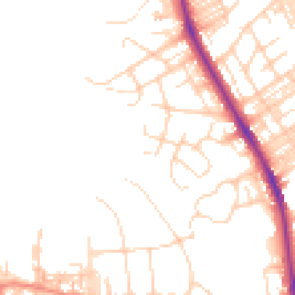
Daytime· 07:00 – 23:00
48.6dB

Night-time· 23:00 – 07:00
39.4dB