12 Pollard Lane, Bradford, BD2 4RL
About 12 Pollard Lane
12 Pollard Lane is an end-of-terrace house in Bradford (BD2 4RL). It has a recorded floor area of 131 m² (around 1410 sq ft), construction records dating it to before 1900 and council tax band B. The latest certificate (December 2016) shows an E (score 46), well below the UK norm with real room to improve. When first surveyed in November 2014 the rating was F, the property has climbed 1 band since. Between certificates, hot-water efficiency went from Poor to Good; while window efficiency dropped from Good to Average. The recommended improvements would lift it to C (score 71), a 2-band jump.
It hasn't traded since November 2006, a hold of 20 years that's notably long for the area. Today's modelled estimate of £152,000 is 44.8% above the 2006 sale price. On a £-per-square-foot basis, the last sale (£74/sq ft) was about 59% above the typical sold price in the postcode.
Everything you need to know about 12 Pollard Lane
The true value, the hidden risks and the full sale history, in one report.
Pick your report · every report is £14.99
One time fee only - money back guarantee

The data behind every report


Energy performance
12 Pollard Lane's carbon output runs well above what efficient homes in the postcode produce.
EPC Rating
Property Improvements
Changes detected from historical EPC data
Heating controls changed
Hot water system upgraded
Get a survey for this property
Level 3 Building Survey
Because the property was built before 1919, we believe a Level 3 building survey should be considered.
From £820 · Includes VAT
Planning history
12 Pollard Lane has no planning applications on record.
But the area is active
2 notable applications nearby — larger schemes and conversions that could reshape the street. The report maps them all.
Sales history & valuation
12 Pollard Lane valuation sits well clear of the typical sold price in this postcode.
£152,000
Modelled from EPC, postcode comparables.
£104,950
Recorded with HM Land Registry.
Sales timeline
24 November 2006Most recent
£104,950
Median price across the last 5 sales in BD2 4RL: £110,000 (2022–2017).
Versus other Pollard Lane homes
12 Pollard Lane is notably below the street on habitable rooms.
Price per m²
£801
Street avg £1,047
Floor Area
131 m²
Street avg 137 m²
Habitable Rooms
5 rooms
Street avg 6 rooms
CO₂ Emissions
9.2 t/year
Street avg 8.9 t/year
Everything you need to know about 12 Pollard Lane
The true value, the hidden risks and the full sale history, in one report.
Pick your report · every report is £14.99
One time fee only - money back guarantee
The data behind every report
Similar properties nearby
The neighbourhood at a glance
Crime
3/mo
Steady year-on-year across the wider district.
Nearest stop
0.1 km
Undercliffe Cemetery South — bus stop.
Closest school
0.4 km
Peel Park Primary School and Nursery. 48 schools nearby.
Go deeper on the local area
A Local Area report breaks down crime, transport links, schools and air quality in depth.
Road noise across the postcode
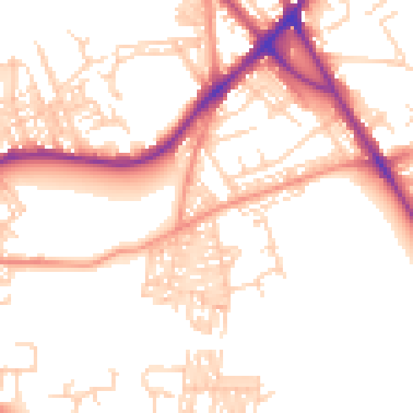
Daytime· 07:00 – 23:00
52.5dB

Night-time· 23:00 – 07:00
42.6dB