4 Ashbourne Grove, Bradford, BD2 4AF
About 4 Ashbourne Grove
4 Ashbourne Grove is a two-bedroom semi-detached house in Bradford (BD2 4AF). It has a recorded floor area of 77 m² (around 829 sq ft), construction records dating it to 1950-1966 and council tax band B. The latest certificate (January 2017) shows an E (score 48), well below the UK norm with real room to improve. The recommended improvements would lift it to B (score 84), a 3-band jump. Other recorded features include a loft.
At 77 m² the property is well over the postcode median (56 m² across 7 EPCs), placing it in the larger end of the local stock. It lags the bulk of the postcode on energy efficiency (less efficient than 86% of similar EPCs). Across 2000–2015, sale prices on this property compounded at 6% per year. Today's modelled estimate of £143,000 sits 88.2% above the 2015 sale of £76,000. On a £-per-square-foot basis, the last sale (£92/sq ft) was about 34.2% below the postcode norm. Last sold in September 2015, so it's been off the market for around 11 years. Across the public record there are 4 sales, relatively high churn for a single property.
What this property has
Inside
- Bedrooms2
- Bathrooms1
- Utility roomYes
- CloakroomYes
- EnsuiteYes
- StudyYes
- LoftYes
Outside
- Private gardenFront and rear
Building
- RefurbishedYes
Everything you need to know about 4 Ashbourne Grove
The true value, the hidden risks and the full sale history, in one report.
Pick your report · every report is £14.99
One time fee only - money back guarantee

The data behind every report


Energy performance
4 Ashbourne Grove's carbon output runs well above what efficient homes in the postcode produce.
EPC Rating
Get a survey for this property
Level 2 HomeBuyer Report
We've checked 10 risk factors against the available data for this property and believe a Level 2 HomeBuyer Report could be a suitable option for you.
From £495 · Includes VAT
Planning history
4 Ashbourne Grove has no planning applications on record.
But the area is active
2 notable applications nearby — larger schemes and conversions that could reshape the street. The report maps them all.
Sales history & valuation
4 Ashbourne Grove has more than doubled in price since the earliest registered sale in 2000.
£143,000
Modelled from EPC, postcode comparables and a sale-price growth of 6.0% per year over 15 years.
£76,000
Growth on file: 6.0% per year over 15 years.
Sales timeline
2 September 2015Most recent
£76,000
+19.2%over 4 years31 May 2011
£63,750
-20.3%over 2 years18 May 2009
£80,000
+150.0%over 8 years17 November 2000
£32,000
Median price across the last 5 sales in BD2 4AF: £90,000 (2024–2017).
Nearby sales in BD2 4AF
Versus other Ashbourne Grove homes
EPC Rating for 4 Ashbourne Grove lags the street by a wide margin.
Price per m²
£987
Street avg £1,393
Floor Area
77 m²
Street avg 57 m²
Habitable Rooms
4 rooms
Street avg 3 rooms
CO₂ Emissions
6.0 t/year
Street avg 2.8 t/year
Everything you need to know about 4 Ashbourne Grove
The true value, the hidden risks and the full sale history, in one report.
Pick your report · every report is £14.99
One time fee only - money back guarantee
The data behind every report
Similar properties nearby
1 Grovelands
BD2 4HH
1 Ashbourne Rise
BD2 4DJ
1 Ashbourne Haven
BD2 4DN
1 Hatfield Road
BD2 4QX
1 Bolton Court, Lister Lane
BD2 4LR
1 Ashbourne Oval
BD2 4DH
1 Grove House Drive
BD2 4DS
1 Boundary Place
BD2 4PA
The neighbourhood at a glance
Crime
3/mo
Steady year-on-year across the wider district.
Nearest stop
0.1 km
Ashbourne Rd Ashbourne Ave — bus stop.
Closest school
0.6 km
Grove House Primary School. 55 schools nearby.
Go deeper on the local area
A Local Area report breaks down crime, transport links, schools and air quality in depth.
Road noise across the postcode
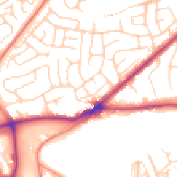
Daytime· 07:00 – 23:00
52.7dB

Night-time· 23:00 – 07:00
42.3dB