11 Ashbourne Grove, Bradford, BD2 4AF
About 11 Ashbourne Grove
11 Ashbourne Grove is a semi-detached house in Bradford (BD2 4AF). It has a recorded floor area of 56 m² (around 603 sq ft), construction records dating it to 1900-1929 and council tax band B. The latest certificate (August 2016) shows an E (score 52), well below the UK norm with real room to improve. The recommended improvements would lift it to B (score 87), a 3-band jump.
Today's modelled estimate of £126,000 sits 72.6% above the 2017 sale of £73,000. It lags the bulk of the postcode on energy efficiency (less efficient than 86% of similar EPCs). Last sold in May 2017, so it's been off the market for around 9 years.
Everything you need to know about 11 Ashbourne Grove
The true value, the hidden risks and the full sale history, in one report.
Pick your report · every report is £14.99
One time fee only - money back guarantee

The data behind every report


Energy performance
Recommended upgrades on file would lift this property by multiple EPC bands.
EPC Rating
Get a survey for this property
Level 3 Building Survey
Because the property was built before 1919, we believe a Level 3 building survey should be considered.
From £820 · Includes VAT
Planning history
11 Ashbourne Grove has no planning applications on record.
But the area is active
2 notable applications nearby — larger schemes and conversions that could reshape the street. The report maps them all.
Sales history & valuation
11 Ashbourne Grove valuation sits well clear of the typical sold price in this postcode.
£126,000
Modelled from EPC, postcode comparables.
£73,000
Recorded with HM Land Registry.
Sales timeline
14 May 2017Most recent
£73,000
Median price across the last 5 sales in BD2 4AF: £99,950 (2024–2016).
Nearby sales in BD2 4AF
Versus other Ashbourne Grove homes
On epc rating, 11 Ashbourne Grove runs well behind the street norm.
Price per m²
£1,304
Street avg £1,341
Floor Area
56 m²
Street avg 60 m²
Habitable Rooms
3 rooms
Street avg 3 rooms
CO₂ Emissions
4.3 t/year
Street avg 3.1 t/year
Everything you need to know about 11 Ashbourne Grove
The true value, the hidden risks and the full sale history, in one report.
Pick your report · every report is £14.99
One time fee only - money back guarantee
The data behind every report
Similar properties nearby
The neighbourhood at a glance
Crime
3/mo
Steady year-on-year across the wider district.
Nearest stop
0.1 km
Ashbourne Rd Ashbourne Ave — bus stop.
Closest school
0.6 km
Grove House Primary School. 55 schools nearby.
Go deeper on the local area
A Local Area report breaks down crime, transport links, schools and air quality in depth.
Road noise across the postcode
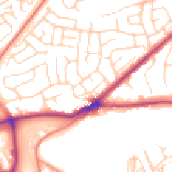
Daytime· 07:00 – 23:00
52.7dB

Night-time· 23:00 – 07:00
42.3dB