21 Fairburn Gardens, Bradford, BD2 2HF
About 21 Fairburn Gardens
21 Fairburn Gardens is a semi-detached house in Bradford (BD2 2HF). It has a recorded floor area of 52 m² (around 560 sq ft), construction records dating it to 1991-1995 and council tax band B. The latest certificate (June 2023) shows a C (score 69), just inside the C band. The recommended improvements would push it to B (score 88).
Across 1997–2023, sale prices on this property compounded at 4.7% per year. On a £-per-square-foot basis, the last sale (£277/sq ft) was about 117.9% above the typical sold price in the postcode. Sold December 2023 for £155,000.
Everything you need to know about 21 Fairburn Gardens
The true value, the hidden risks and the full sale history, in one report.
Pick your report · every report is £14.99
One time fee only - money back guarantee

The data behind every report


Energy performance
EPC Rating
Get a survey for this property
Level 2 HomeBuyer Report
We've checked 10 risk factors against the available data for this property and believe a Level 2 HomeBuyer Report could be a suitable option for you.
From £495 · Includes VAT
Planning history
21 Fairburn Gardens has no planning applications on record.
A planning report still maps activity across the surrounding area and reads this property's extension & conversion potential.
Sales history & valuation
Sale price has grown by over 3x since 1997.
£163,000
Modelled from EPC, postcode comparables and a sale-price growth of 4.7% per year over 27 years.
£155,000
Growth on file: 4.7% per year over 27 years.
Sales timeline
15 December 2023Most recent
£155,000
+91.4%over 20 years29 July 2003
£81,000
+76.1%over 6 years17 April 1997
£46,000
Median price across the last 5 sales in BD2 2HF: £90,000 (2025–2023).
Nearby sales in BD2 2HF
Versus other Fairburn Gardens homes
Price per m² for 21 Fairburn Gardens runs comfortably ahead of the street norm.
Price per m²
£2,981
Street avg £1,866
Floor Area
52 m²
Street avg 58 m²
Habitable Rooms
3 rooms
Street avg 3 rooms
CO₂ Emissions
2.1 t/year
Street avg 2.6 t/year
Everything you need to know about 21 Fairburn Gardens
The true value, the hidden risks and the full sale history, in one report.
Pick your report · every report is £14.99
One time fee only - money back guarantee
The data behind every report
Similar properties nearby
The neighbourhood at a glance
Crime
3/mo
Steady year-on-year across the wider district.
Nearest stop
0.1 km
Moorside Road — bus stop.
Closest school
0.4 km
St Luke's CofE Primary School. 41 schools nearby.
Go deeper on the local area
A Local Area report breaks down crime, transport links, schools and air quality in depth.
Road noise across the postcode
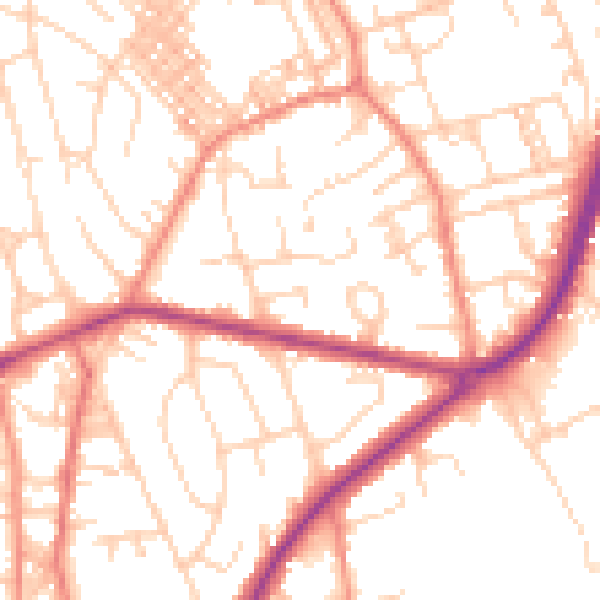
Daytime· 07:00 – 23:00
52.7dB

Night-time· 23:00 – 07:00
41.6dB