3 Hall Road, Bradford, BD2 2DP
About 3 Hall Road
3 Hall Road is a four-bedroom mid-terrace house in Bradford (BD2 2DP). It has a recorded floor area of 137 m² (around 1475 sq ft), construction records dating it to 1900-1929 and council tax band B. The latest certificate (December 2016) shows an E (score 51), well below the UK norm with real room to improve. The recommended improvements would lift it to C (score 77), a 2-band jump.
Held since December 2007 — that's 18 years off the open market, well above the local norm. That sale landed at the peak of the pre-credit-crunch market, which is a useful reference point when interpreting the price. At 137 m² the property is well over the postcode median (72 m² across 8 EPCs), placing it in the larger end of the local stock. It lags the bulk of the postcode on energy efficiency (less efficient than 75% of similar EPCs). Today's modelled estimate of £163,000 is 35.8% above the 2007 sale price. On a £-per-square-foot basis, the last sale (£81/sq ft) was about 73.9% above the typical sold price in the postcode.
What this property has
Inside
- Bedrooms4
Everything you need to know about 3 Hall Road
The true value, the hidden risks and the full sale history, in one report.
Pick your report · every report is £14.99
One time fee only - money back guarantee

The data behind every report


Energy performance
3 Hall Road's carbon output runs well above what efficient homes in the postcode produce.
EPC Rating
Get a survey for this property
Level 3 Building Survey
Because the property was built before 1919, we believe a Level 3 building survey should be considered.
From £820 · Includes VAT
Planning history
3 Hall Road has no planning applications on record.
A planning report still maps activity across the surrounding area and reads this property's extension & conversion potential.
Sales history & valuation
The latest sale landed at the peak of the pre-credit-crunch market — a high-water reference point.
£163,000
Modelled from EPC, postcode comparables.
£120,000
Recorded with HM Land Registry.
Sales timeline
10 December 2007Most recent
£120,000
Median price across the last 5 sales in BD2 2DP: £99,000 (2022–2018).
Versus other Hall Road homes
Years Held for 3 Hall Road runs comfortably ahead of the street norm.
Price per m²
£876
Street avg £823
Floor Area
137 m²
Street avg 140 m²
Habitable Rooms
6 rooms
Street avg 6 rooms
CO₂ Emissions
8.7 t/year
Street avg 8.1 t/year
Everything you need to know about 3 Hall Road
The true value, the hidden risks and the full sale history, in one report.
Pick your report · every report is £14.99
One time fee only - money back guarantee
The data behind every report
Similar properties nearby
1 Alexandra Road, Eccleshill
BD2 2HS
1 Hall Avenue
BD2 2DT
1 Acre Lane, Eccleshill
BD2 2EH
1 Mount Grove
BD2 2JL
1 Acre Close
BD2 2LR
1 Highfield Road, Five Lane Ends
BD2 2AU
1 Norman Lane
BD2 2LB
1 Ivy Place
BD2 2BA
The neighbourhood at a glance
Crime
3/mo
Steady year-on-year across the wider district.
Nearest stop
0.0 km
Victoria Rd Stewart Close — bus stop.
Closest school
0.1 km
Cavendish Primary School. 39 schools nearby.
Go deeper on the local area
A Local Area report breaks down crime, transport links, schools and air quality in depth.
Road noise across the postcode
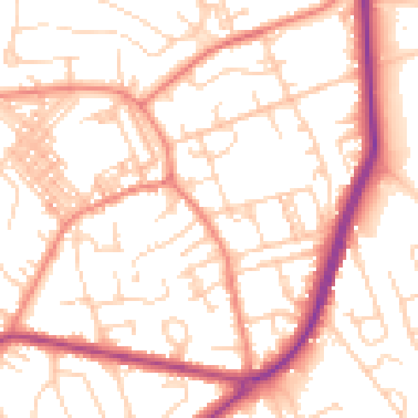
Daytime· 07:00 – 23:00
53.6dB

Night-time· 23:00 – 07:00
42.4dB