17 Botany Avenue, Bradford, BD2 1EU
About 17 Botany Avenue
17 Botany Avenue is a semi-detached house in Bradford (BD2 1EU). It has a recorded floor area of 62 m² (around 667 sq ft), construction records dating it to 1976-1982 and council tax band B. The latest certificate (January 2017) shows a D (score 66), on the cusp of jumping into the C band. The recommended improvements would lift it to B (score 87), a 2-band jump.
Across 1996–2024, sale prices on this property compounded at 3.8% per year. Today's modelled estimate of £148,000 is 28.7% above the 2024 sale price. On a £-per-square-foot basis, the last sale (£172/sq ft) was about 30.7% above the typical sold price in the postcode. Last sale on file: £115,000 in July 2024.
Everything you need to know about 17 Botany Avenue
The true value, the hidden risks and the full sale history, in one report.
Pick your report · every report is £14.99
One time fee only - money back guarantee

The data behind every report


Energy performance
Recommended upgrades on file would lift this property by multiple EPC bands.
EPC Rating
Get a survey for this property
Level 2 HomeBuyer Report
We've checked 10 risk factors against the available data for this property and believe a Level 2 HomeBuyer Report could be a suitable option for you.
From £495 · Includes VAT
Planning history
17 Botany Avenue has no planning applications on record.
But the area is active
1 notable application nearby — larger schemes and conversions that could reshape the street. The report maps them all.
Sales history & valuation
Sale price has at least doubled since 1996.
£148,000
Modelled from EPC, postcode comparables and a sale-price growth of 3.8% per year over 28 years.
£115,000
Growth on file: 3.8% per year over 28 years.
Sales timeline
11 July 2024Most recent
£115,000
+21.1%over 19 years22 May 2005
£94,950
+134.4%over 8 years30 October 1996
£40,500
Median price across the last 5 sales in BD2 1EU: £115,000 (2025–2024).
Nearby sales in BD2 1EU
Versus other Botany Avenue homes
17 Botany Avenue is notably below the street on habitable rooms.
Price per m²
£1,855
Street avg £1,567
Floor Area
62 m²
Street avg 72 m²
Habitable Rooms
3 rooms
Street avg 4 rooms
CO₂ Emissions
3.0 t/year
Street avg 3.8 t/year
Everything you need to know about 17 Botany Avenue
The true value, the hidden risks and the full sale history, in one report.
Pick your report · every report is £14.99
One time fee only - money back guarantee
The data behind every report
Similar properties nearby
The neighbourhood at a glance
Daytime road noise here sits well below conversation level — a quiet pocket of the postcode.
Crime
3/mo
Steady year-on-year across the wider district.
Nearest stop
0.2 km
Poplars Park Road — bus stop.
Closest school
0.4 km
Poplars Farm Primary School. 51 schools nearby.
Go deeper on the local area
A Local Area report breaks down crime, transport links, schools and air quality in depth.
Road noise across the postcode
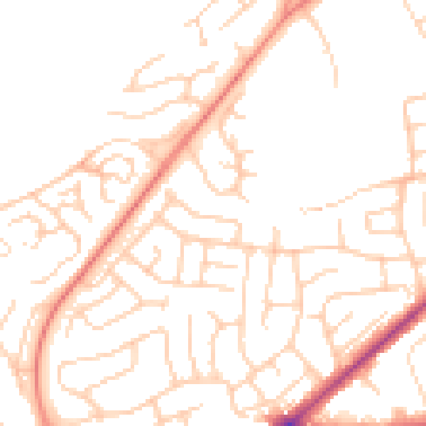
Daytime· 07:00 – 23:00
49.6dB

Night-time· 23:00 – 07:00
38.8dB