1 Howarth Crescent, Bradford, BD2 1HZ
About 1 Howarth Crescent
1 Howarth Crescent is a three-bedroom semi-detached house in Bradford (BD2 1HZ). It has a recorded floor area of 71 m² (around 764 sq ft), construction records dating it to 1950-1966 and council tax band A. The latest certificate (October 2024) shows a C (score 70). The recommended improvements would push it to B (score 85).
At 71 m² the property is well over the postcode median (46 m² across 24 EPCs), placing it in the larger end of the local stock. Most recent transfer was March 2025 at £140,000 — fresh data. Today's modelled estimate of £165,000 is 17.9% above the 2025 sale price. On a £-per-square-foot basis, the last sale (£183/sq ft) was about 66.9% above the typical sold price in the postcode.
What this property has
Inside
- Bedrooms3
- Bathrooms1
Outside
- Private gardenFront and rear
Everything you need to know about 1 Howarth Crescent
The true value, the hidden risks and the full sale history, in one report.
Pick your report · every report is £14.99
One time fee only - money back guarantee

The data behind every report


Energy performance
EPC Rating
Get a survey for this property
Level 2 HomeBuyer Report
We've checked 10 risk factors against the available data for this property and believe a Level 2 HomeBuyer Report could be a suitable option for you.
From £495 · Includes VAT
Planning history
1 Howarth Crescent has no planning applications on record.
But the area is active
1 notable application nearby — larger schemes and conversions that could reshape the street. The report maps them all.
Sales history & valuation
Latest sale on 1 Howarth Crescent was the highest on Land Registry record across the postcode.
£165,000
Modelled from EPC, postcode comparables.
£140,000
Recorded with HM Land Registry.
Sales timeline
24 March 2025Most recent
£140,000
Median price across the last 5 sales in BD2 1HZ: £90,000 (2022–2005).
Versus other Howarth Crescent homes
1 Howarth Crescent outperforms the street on floor area by a wide margin.
EPC Rating
70 (C)
Street avg 70 (C)
Floor Area
71 m²
Street avg 58 m²
CO₂ Emissions
2.9 t/year
Street avg 2.6 t/year
Habitable Rooms
4 rooms
Street avg 3 rooms
Everything you need to know about 1 Howarth Crescent
The true value, the hidden risks and the full sale history, in one report.
Pick your report · every report is £14.99
One time fee only - money back guarantee
The data behind every report
Similar properties nearby
The neighbourhood at a glance
Crime
3/mo
Steady year-on-year across the wider district.
Nearest stop
0.1 km
Idle Rd Swain House Road — bus stop.
Closest school
0.3 km
Swain House Primary School. 39 schools nearby.
Go deeper on the local area
A Local Area report breaks down crime, transport links, schools and air quality in depth.
Road noise across the postcode
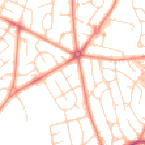
Daytime· 07:00 – 23:00
50.8dB

Night-time· 23:00 – 07:00
38.6dB