1 Camargue Fold, Bradford, BD2 1HB
About 1 Camargue Fold
1 Camargue Fold is a three-bedroom detached house in Bradford (BD2 1HB). It has a recorded floor area of 78 m² (around 840 sq ft), construction records dating it to 1983-1990 and council tax band C. The latest certificate (September 2014) shows a D (score 59), a step below the typical UK home. The recommended improvements would lift it to B (score 81), a 2-band jump. The latest certificate is from September 2014, so improvements made since then won't be reflected. The home occupies a corner plot.
Most recent transfer: January 2021 at £159,000. Across the public record there are 4 sales, relatively high churn for a single property. That sale was during the post-pandemic price surge, when transactions cleared materially above pre-2020 trend. One planning record on file: an extension approved in 2021. Past consents include an extension, meaningful when judging how the property has evolved. Across 2002–2021, sale prices on this property compounded at 3.6% per year. Today's modelled estimate of £225,000 is 41.5% above the 2021 sale price. On a £-per-square-foot basis, the last sale (£189/sq ft) was about 88.7% above the typical sold price in the postcode. At 78 m² it's 20.8% smaller than the typical home in the postcode (99 m² median across 6 EPCs).
What this property has
Inside
- Bedrooms3
- Bathrooms2
- Dining roomYes
Outside
- Corner plotYes
Building
- Central heatingYes
Everything you need to know about 1 Camargue Fold
The true value, the hidden risks and the full sale history, in one report.
Pick your report · every report is £14.99
One time fee only - money back guarantee

The data behind every report


Energy performance
Recommended upgrades on file would lift this property by multiple EPC bands.
EPC Expired
This certificate is over 10 years old and is no longer valid.Expired 30 Sept 2024
EPC Rating
Get a survey for this property
Level 2 HomeBuyer Report
We've checked 10 risk factors against the available data for this property and believe a Level 2 HomeBuyer Report could be a suitable option for you.
From £545 · Includes VAT
Planning history
1 Camargue Fold has an approved single-storey rear extension on the planning record.
1 application on record at 1 Camargue Fold, Bradford, BD2 1HB
- Apr 2021ExtensionOutlineOutcome in report
Extension: Single storey · Rear of property
Construction of single storey rear extension of the following dimensions:Depth of proposed extension from rear wall: 4.00mMaximum height of proposed extension: 3.50mHeight to eaves of proposed extension: 2.50m
- Documents
- 6 docs on file
- Reference
- 21/01089/PNH
Unlock 1 Camargue Fold, Bradford, BD2 1HB's full planning history
You're seeing the shape of it. The report has the substance.
- Every decision — granted, refused or withdrawn (1 on record)
- All 1 application on this property in full, plus 1 notable nearby
- The 6 documents, officer reports & conditions
- What the pattern means for extending or converting here
One time fee only - money back guarantee
Sales history & valuation
The latest sale landed in the post-pandemic price surge — useful context when reading the figure.
£225,000
Modelled from EPC, postcode comparables and a sale-price growth of 3.6% per year over 19 years.
£159,000
Growth on file: 3.6% per year over 19 years.
Sales timeline
22 January 2021Most recent
£159,000
+22.3%over 13 years2 August 2007
£130,000
+1.6%over 3 years20 February 2004
£128,000
+54.3%over 1 year30 June 2002
£82,950
Median price across the last 5 sales in BD2 1HB: £220,000 (2025–2017).
Nearby sales in BD2 1HB
Versus other Camargue Fold homes
On epc rating, 1 Camargue Fold runs well behind the street norm.
Price per m²
£2,038
Street avg £2,051
Floor Area
78 m²
Street avg 101 m²
Habitable Rooms
4 rooms
Street avg 6 rooms
CO₂ Emissions
4.1 t/year
Street avg 3.8 t/year
Everything you need to know about 1 Camargue Fold
The true value, the hidden risks and the full sale history, in one report.
Pick your report · every report is £14.99
One time fee only - money back guarantee
The data behind every report
Similar properties nearby
The neighbourhood at a glance
Daytime road noise here sits well below conversation level — a quiet pocket of the postcode.
Crime
3/mo
Steady year-on-year across the wider district.
Nearest stop
0.1 km
Thorndale Rise — bus stop.
Closest school
0.3 km
Hanson Academy. 51 schools nearby.
Go deeper on the local area
A Local Area report breaks down crime, transport links, schools and air quality in depth.
Road noise across the postcode
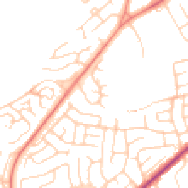
Daytime· 07:00 – 23:00
49.1dB

Night-time· 23:00 – 07:00
38.3dB