15 Broome Avenue, Bradford, BD2 1EF
About 15 Broome Avenue
15 Broome Avenue is a three-bedroom semi-detached house in Bradford (BD2 1EF). It has a recorded floor area of 85 m² (around 915 sq ft), construction records dating it to 1967-1975 and council tax band C. The latest certificate (September 2025) shows a D (score 62), on the cusp of jumping into the C band. The recommended improvements would push it to C (score 79).
Untraded for 26 years, with the last transfer in November 2000. Only one transfer is on record with HM Land Registry, suggesting it has stayed in the same hands for a long time. Today's modelled estimate of £217,000 sits 317.3% above the 2000 sale of £52,000. On a £-per-square-foot basis, the last sale (£57/sq ft) was about 34.1% below the postcode norm.
What this property has
Inside
- Bedrooms3
- Bathrooms1
Everything you need to know about 15 Broome Avenue
The true value, the hidden risks and the full sale history, in one report.
Pick your report · every report is £14.99
One time fee only - money back guarantee

The data behind every report


Energy performance
EPC Rating
Get a survey for this property
Level 2 HomeBuyer Report
We've checked 10 risk factors against the available data for this property and believe a Level 2 HomeBuyer Report could be a suitable option for you.
From £545 · Includes VAT
Planning history
15 Broome Avenue has no planning applications on record.
But the area is active
1 notable application nearby — larger schemes and conversions that could reshape the street. The report maps them all.
Sales history & valuation
15 Broome Avenue's modelled value sits at over four times its earliest registered sale price (2000).
£217,000
Modelled from EPC, postcode comparables.
£52,000
Recorded with HM Land Registry.
Sales timeline
14 November 2000Most recent
£52,000
Median price across the last 4 sales in BD2 1EF: £68,500 (2019–1999).
Versus other Broome Avenue homes
15 Broome Avenue is notably below the street on price per m².
Price per m²
£612
Street avg £1,068
Floor Area
85 m²
Street avg 88 m²
Habitable Rooms
5 rooms
Street avg 5 rooms
CO₂ Emissions
3.8 t/year
Street avg 3.4 t/year
Everything you need to know about 15 Broome Avenue
The true value, the hidden risks and the full sale history, in one report.
Pick your report · every report is £14.99
One time fee only - money back guarantee
The data behind every report
Similar properties nearby
1 Camargue Fold
BD2 1HB
1 Farriers Croft
BD2 1ET
1 Greenwood Avenue
BD2 1JF
1 Howarth Crescent
BD2 1HZ
1 Greenwood Mount
BD2 1JG
1 Chestnut Grove
BD2 1BP
1 Drovers Way
BD2 1JZ
1 Finsbury Drive
BD2 1QA
The neighbourhood at a glance
Crime
3/mo
Steady year-on-year across the wider district.
Nearest stop
0.2 km
Brisbane Avenue — bus stop.
Closest school
0.4 km
Poplars Farm Primary School. 52 schools nearby.
Go deeper on the local area
A Local Area report breaks down crime, transport links, schools and air quality in depth.
Road noise across the postcode
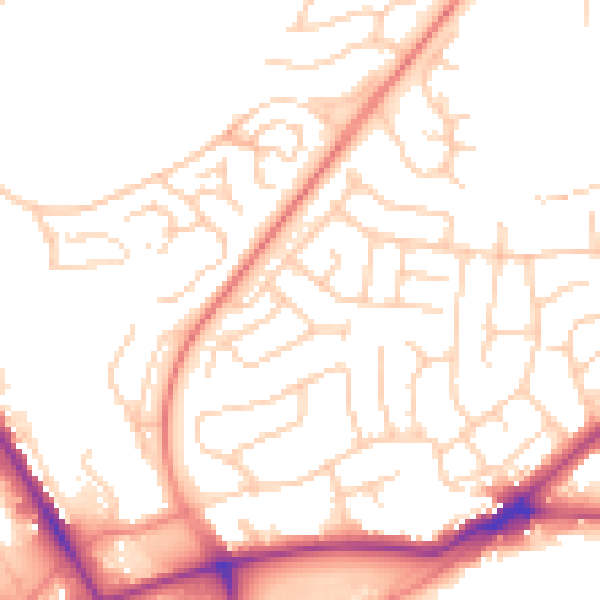
Daytime· 07:00 – 23:00
51.9dB

Night-time· 23:00 – 07:00
41.5dB