3 The Manor Stables, Camblesforth, Selby, YO8 8RB
About 3 The Manor Stables
3 The Manor Stables is a two-bedroom mid-terrace house in Camblesforth, Selby, Selby (YO8 8RB). It has a recorded floor area of 58 m² (around 624 sq ft), construction records dating it to 1983-1990 and council tax band B. The latest certificate (March 2023) shows a D (score 68), on the cusp of jumping into the C band. Earlier certificates rated it C (May 2009); the latest reading is one band lower. Between certificates, window efficiency went from Average to Good; while hot-water efficiency dropped from Very Good to Good and main heating dropped from Very Good to Good. The recommended improvements would lift it to B (score 85), a 2-band jump.
Across 1995–2023, sale prices on this property compounded at 4.9% per year. Sold November 2023 for £160,000.
Know exactly what you're buying at 3 The Manor Stables
Before you offer, see what the listing won't tell you, the true value, the red flags and the full history.
Already flagged here
Launch offer · save £5
Valuation
against the asking price
Risks
planning & flood
Sold prices
similar homes nearby
Trends
the local market
What this property has
Inside
- Bedrooms2
- Bathrooms1
Outside
- Private gardenYes
- Garagesingle
Building
- RefurbishedYes
Energy performance
Recommended upgrades on file would lift this property by multiple EPC bands.
EPC Rating
Property Improvements
Changes detected from historical EPC data
Hot water efficiency decreased
Window efficiency improved
Planning history
3 The Manor Stables has no planning applications on record.
Notable planning nearby
4applications of note in the surrounding area
We flagged 1 thing worth checking at 3 The Manor Stables
Independent checks surfaced things a buyer would want to understand before offering. The report explains each one in full, with the underlying data and what to ask.
- Larger development activity nearby
30-day money-back guarantee
Sales history & valuation
Price for 3 The Manor Stables has grown more than fourfold since the 1995 starting point.
£167,000
Modelled from EPC, postcode comparables and a sale-price growth of 4.9% per year over 29 years.
£160,000
Growth on file: 4.9% per year over 29 years.
Sales timeline
10 November 2023Most recent
£160,000
+23.1%over 6 years10 August 2017
£130,000
+3.2%over 7 years20 November 2009
£126,000
+2.9%over 3 years19 October 2006
£122,500
+44.1%over 3 years26 June 2003
£85,000
+30.8%over 1 year25 October 2001
£65,000
+63.3%over 6 years11 January 1995
£39,800
Median price across the last 2 sales in YO8 8RB: £107,750 (2022–1996).
Nearby sales in YO8 8RB
Everything we know about 3 The Manor Stables, in one report
What it's really worth, what could be wrong, and the planning, sales and area data in full.
What we flagged
- Larger development activity nearby

Similar properties nearby
1 Burn Grange Cottages, Doncaster Road, Burn
YO8 8LA
1 Brickyard Cottages, Bawtry Road
YO8 8NB
1 Benedict Avenue
YO8 8BB
1 Carr Street
YO8 8AW
1 Brown Cow Road, Barlow
YO8 8EL
1 Burn Hall Crescent, Burn
YO8 8LT
1 Blackthorn Close
YO8 8FU
1 Abbots Mews
YO8 8RS
The neighbourhood at a glance
Daytime road noise here sits well below conversation level — a quiet pocket of the postcode.
Crime
3/mo
Steady year-on-year across the wider district.
Nearest stop
0.0 km
Mill Lane — bus stop.
Closest school
0.2 km
Camblesforth Community Primary Academy. 3 schools nearby.
Go deeper on the local area
The full report breaks down crime, transport links, schools and air quality in depth.
Road noise across the postcode
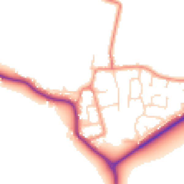
Daytime· 07:00 – 23:00
49.7dB

Night-time· 23:00 – 07:00
41.5dB