6 Ennerdale Drive, Perton, Wolverhampton, WV6 7PF
About 6 Ennerdale Drive
6 Ennerdale Drive is a one-bedroom semi-detached house in Perton, Wolverhampton, Wolverhampton (WV6 7PF). It has a recorded floor area of 42 m² (around 452 sq ft), construction records dating it to 1976-1982 and council tax band A. The latest certificate (June 2021) shows a D (score 67), on the cusp of jumping into the C band. Earlier certificates rated it C (March 2011); the latest reading is one band lower. Between certificates, roof efficiency went from Average to Good and lighting went from Poor to Very Good; while wall efficiency dropped from Good to Average and hot-water efficiency dropped from Very Good to Good. The recommended improvements would lift it to B (score 91), a 2-band jump.
Across 2007–2021, sale prices on this property compounded at 1.6% per year. Today's modelled estimate of £159,000 is 24.7% above the 2021 sale price. On a £-per-square-foot basis, the last sale (£282/sq ft) was about 45% above the typical sold price in the postcode. At 42 m² it's 26.3% smaller than the typical home in the postcode (57 m² median across 33 EPCs). 1 bedrooms is on the smaller side for this postcode, where 3 is the typical count. Most recent transfer: September 2021 at £127,500. That sale was during the post-pandemic price surge, when transactions cleared materially above pre-2020 trend.
What this property has
Inside
- Bedrooms1
- Bathrooms1
Outside
- ParkingOff road
Building
- RefurbishedYes
Everything you need to know about 6 Ennerdale Drive
The true value, the hidden risks and the full sale history, in one report.
Pick your report · every report is £14.99
One time fee only - money back guarantee

The data behind every report


Energy performance
Recommended upgrades on file would lift this property by multiple EPC bands.
EPC Rating
Property Improvements
Changes detected from historical EPC data
Heating controls changed
Hot water efficiency decreased
Roof insulation improved
More low energy lighting installed
Get a survey for this property
Level 2 HomeBuyer Report
We've checked 10 risk factors against the available data for this property and believe a Level 2 HomeBuyer Report could be a suitable option for you.
From £495 · Includes VAT
Planning history
6 Ennerdale Drive has no planning applications on record.
A planning report still maps activity across the surrounding area and reads this property's extension & conversion potential.
Sales history & valuation
The latest sale landed in the post-pandemic price surge — useful context when reading the figure.
£159,000
Modelled from EPC, postcode comparables and a sale-price growth of 1.6% per year over 14 years.
£127,500
Growth on file: 1.6% per year over 14 years.
Sales timeline
19 September 2021Most recent
£127,500
+52.7%over 8 years14 December 2012
£83,500
-18.5%over 5 years18 October 2007
£102,500
Median price across the last 5 sales in WV6 7PF: £220,000 (2025–2024).
Nearby sales in WV6 7PF
16 Ennerdale Drive, Perton, Wolverhampton, WV6 7PF
Sold Aug 2025
£290,00058 Ennerdale Drive, Perton, Wolverhampton, WV6 7PF
Sold Jul 2025
£235,00029 Ennerdale Drive, Perton, Wolverhampton, WV6 7PF
Sold Jun 2025
£137,50017 Ennerdale Drive, Perton, Wolverhampton, WV6 7PF
Sold May 2025
£213,0009 Ennerdale Drive, Perton, Wolverhampton, WV6 7PF
Sold Aug 2024
£220,000
Versus other Ennerdale Drive homes
Floor Area for 6 Ennerdale Drive lags the street by a wide margin.
Price per m²
£3,036
Street avg £2,531
Floor Area
42 m²
Street avg 64 m²
Habitable Rooms
2 rooms
Street avg 4 rooms
CO₂ Emissions
2.1 t/year
Street avg 2.7 t/year
Everything you need to know about 6 Ennerdale Drive
The true value, the hidden risks and the full sale history, in one report.
Pick your report · every report is £14.99
One time fee only - money back guarantee
The data behind every report
Similar properties nearby
1 Bader Road
WV6 7UY
1 Benson Close
WV6 7LU
1 Cabot Grove
WV6 7TQ
1 Broadwell Lane, Pattingham
WV6 7BP
1 Anson Close
WV6 7SE
1 Adwalton Road
WV6 7SH
1 Bowen Cooke Avenue, Perton
WV6 7YG
1 Canterbury Drive, Perton
WV6 7XB
The neighbourhood at a glance
Daytime road noise here sits well below conversation level — a quiet pocket of the postcode.
Crime
5/mo
Steady year-on-year across the wider district.
Nearest stop
0.2 km
Rydal Drive — bus stop.
Closest school
0.2 km
Perton Primary Academy. 21 schools nearby.
Go deeper on the local area
A Local Area report breaks down crime, transport links, schools and air quality in depth.
Road noise across the postcode
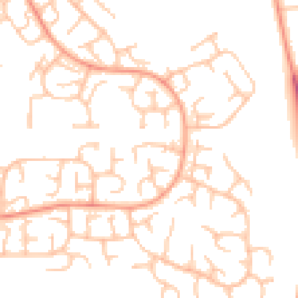
Daytime· 07:00 – 23:00
49.6dB

Night-time· 23:00 – 07:00
37.9dB