16 Hanbury Crescent, Wolverhampton, WV4 4BW
About 16 Hanbury Crescent
16 Hanbury Crescent is a four-bedroom semi-detached house in Wolverhampton (WV4 4BW). It has a recorded floor area of 121 m² (around 1302 sq ft), construction records dating it to 1930-1949 and council tax band D. The latest certificate (April 2015) shows a C (score 69), just inside the C band. The recommended improvements would push it to B (score 84). The latest certificate is from April 2015, so improvements made since then won't be reflected.
On energy efficiency it sits in the top 10% of properties in this postcode. Last sold in September 2015, so it's been off the market for around 11 years. Across 2002–2015, sale prices on this property compounded at 4.9% per year. Today's modelled estimate of £349,000 is 45.4% above the 2015 sale price.
What this property has
Inside
- Bedrooms4
Everything you need to know about 16 Hanbury Crescent
The true value, the hidden risks and the full sale history, in one report.
Pick your report · every report is £14.99
One time fee only - money back guarantee

The data behind every report


Energy performance
16 Hanbury Crescent ranks among the most efficient homes in the postcode for energy use.
EPC Expired
This certificate is over 10 years old and is no longer valid.Expired 13 Apr 2025
EPC Rating
Get a survey for this property
Level 3 Building Survey
Because the property has solid (non-cavity) walls, we believe a Level 3 building survey should be considered.
From £955 · Includes VAT
Planning history
16 Hanbury Crescent has no planning applications on record.
But the area is active
3 notable applications nearby — larger schemes and conversions that could reshape the street. The report maps them all.
Sales history & valuation
16 Hanbury Crescent valuation sits well clear of the typical sold price in this postcode.
£349,000
Modelled from EPC, postcode comparables and a sale-price growth of 4.9% per year over 13 years.
£240,000
Growth on file: 4.9% per year over 13 years.
Sales timeline
15 September 2015Most recent
£240,000
+50.0%over 12 years10 January 2003
£160,000
+25.5%over 6 months11 July 2002
£127,500
Median price across the last 5 sales in WV4 4BW: £255,000 (2023–2020).
Nearby sales in WV4 4BW
6 Hanbury Crescent, Wolverhampton, WV4 4BW
Sold Feb 2023
£392,50013 Hanbury Crescent, Wolverhampton, WV4 4BW
Sold Dec 2021
£247,0001 Hanbury Crescent, Wolverhampton, WV4 4BW
Sold Feb 2020
£255,0005 Hanbury Crescent, Wolverhampton, WV4 4BW
Sold Jul 2016
£189,00031 Hanbury Crescent, Wolverhampton, WV4 4BW
Sold Mar 2016
£213,000
Versus other Hanbury Crescent homes
EPC Rating for 16 Hanbury Crescent runs comfortably ahead of the street norm.
Price per m²
£1,983
Street avg £1,904
Floor Area
121 m²
Street avg 113 m²
Habitable Rooms
6 rooms
Street avg 6 rooms
CO₂ Emissions
4.5 t/year
Street avg 7.4 t/year
Everything you need to know about 16 Hanbury Crescent
The true value, the hidden risks and the full sale history, in one report.
Pick your report · every report is £14.99
One time fee only - money back guarantee
The data behind every report
Similar properties nearby
1 Hanbury Crescent
WV4 4BW
1 Dimmingsdale Road
WV4 4XF
1 Buckley Road
WV4 4LJ
1 Hamble Road
WV4 4QF
1 Ashley Road
WV4 4DP
1 Fairview Road, Penn
WV4 4TD
1 Fancourt Avenue
WV4 4HY
1 Arley Grove
WV4 4QX
The neighbourhood at a glance
Daytime road noise here sits well below conversation level — a quiet pocket of the postcode.
Crime
6/mo
Steady year-on-year across the wider district.
Nearest stop
2.3 km
Miller and Carter PH — bus stop.
Closest school
0.4 km
Warstones Primary School. 32 schools nearby.
Go deeper on the local area
A Local Area report breaks down crime, transport links, schools and air quality in depth.
Road noise across the postcode
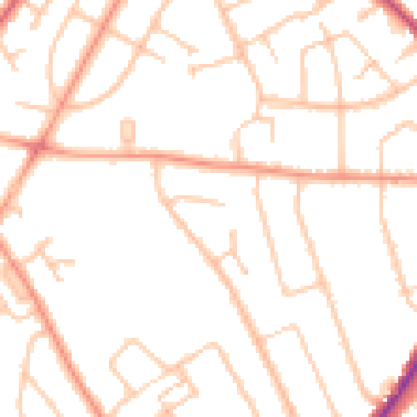
Daytime· 07:00 – 23:00
47.6dB

Night-time· 23:00 – 07:00
38.0dB