2f, Croft Lane, Wolverhampton, WV10 8RH
About 2f
2f is a property in Wolverhampton (WV10 8RH). It has a recorded floor area of 64 m² (around 689 sq ft), construction records dating it to 1950-1966 and council tax band A. At 64 m² this is the 4th smallest of 11 units on EPC record in the building, where floor areas span 40–100 m². The building's EPC ratings span D to C, with this unit at the top. The latest certificate (December 2025) shows a C (score 71). This certificate was lodged in the last six months, so the rating reflects current condition.
Its energy rating outperforms most of the postcode (better than 70% of similar EPCs).
Everything you need to know about 2f
The true value, the hidden risks and the full sale history, in one report.
Pick your report · every report is £14.99
One time fee only - money back guarantee

The data behind every report


Energy performance
The EPC has just been inspected, so the rating reflects current condition.
EPC Rating
Get a survey for this property
Level 2 HomeBuyer Report
We've checked 10 risk factors against the available data for this property and believe a Level 2 HomeBuyer Report could be a suitable option for you.
From £495 · Includes VAT
Planning history
2f has no planning applications on record.
A planning report still maps activity across the surrounding area and reads this property's extension & conversion potential.
Sales history & valuation
2f has no Land Registry sales on file, suggesting it has stayed in the same hands since registration began.
£126,000
Modelled from EPC, postcode comparables.
No sales recorded with HM Land Registry
That can mean the property has never traded since the registry began publishing in 1995, was a new build that hasn't been registered yet, or is held in the same hands long-term.
Median price across the last 5 sales in WV10 8RH: £117,000 (2025–2012).
Nearby sales in WV10 8RH
Versus other Croft Lane homes
On epc rating, 2f stands well clear of the street.
EPC Rating
71 (C)
Street avg 68 (D)
Floor Area
64 m²
Street avg 53 m²
CO₂ Emissions
1.7 t/year
Street avg 2.2 t/year
Habitable Rooms
3 rooms
Street avg 3 rooms
Everything you need to know about 2f
The true value, the hidden risks and the full sale history, in one report.
Pick your report · every report is £14.99
One time fee only - money back guarantee
The data behind every report
Similar properties nearby
The neighbourhood at a glance
Crime
6/mo
Steady year-on-year across the wider district.
Nearest stop
1.8 km
Wood Hayes Road — bus stop.
Closest school
0.2 km
Fallings Park Primary School. 32 schools nearby.
Go deeper on the local area
A Local Area report breaks down crime, transport links, schools and air quality in depth.
Road noise across the postcode
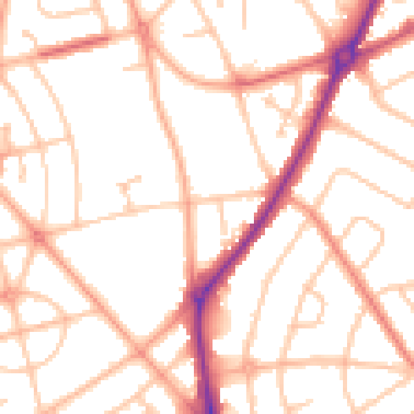
Daytime· 07:00 – 23:00
50.8dB

Night-time· 23:00 – 07:00
40.9dB