38 Bickford Road, Wolverhampton, WV10 0NH
About 38 Bickford Road
38 Bickford Road is a two-bedroom mid-terrace house in Wolverhampton (WV10 0NH). It has a recorded floor area of 76 m² (around 818 sq ft), construction records dating it to 1930-1949 and council tax band A. The latest certificate (August 2018) shows a D (score 66), on the cusp of jumping into the C band. The recommended improvements would lift it to B (score 81), a 2-band jump.
A recent sale: £147,000 in December 2024. Across 2007–2024, sale prices on this property compounded at 2.9% per year. Today's modelled estimate of £169,000 is 15% above the 2024 sale price. On a £-per-square-foot basis, the last sale (£180/sq ft) was about 85.6% above the typical sold price in the postcode.
What this property has
Inside
- Bedrooms2
- Bathrooms1
- Dining roomYes
Outside
- Private gardenRear
- ParkingOff road
Building
- Central heatingYes
Everything you need to know about 38 Bickford Road
The true value, the hidden risks and the full sale history, in one report.
Pick your report · every report is £14.99
One time fee only - money back guarantee

The data behind every report


Energy performance
Recommended upgrades on file would lift this property by multiple EPC bands.
EPC Rating
Get a survey for this property
Level 3 Building Survey
Because the property has solid (non-cavity) walls, we believe a Level 3 building survey should be considered.
From £820 · Includes VAT
Planning history
38 Bickford Road has no planning applications on record.
But the area is active
4 notable applications nearby — larger schemes and conversions that could reshape the street. The report maps them all.
Sales history & valuation
38 Bickford Road valuation sits well clear of the typical sold price in this postcode.
£169,000
Modelled from EPC, postcode comparables and a sale-price growth of 2.9% per year over 18 years.
£147,000
Growth on file: 2.9% per year over 18 years.
Sales timeline
6 December 2024Most recent
£147,000
+36.1%over 5 years14 December 2018
£108,000
+22.0%over 11 years24 April 2007
£88,500
Median price across the last 5 sales in WV10 0NH: £155,000 (2025–2021).
Nearby sales in WV10 0NH
34 Bickford Road, Wolverhampton, WV10 0NH
Sold Jul 2025
£163,00014 Bickford Road, Wolverhampton, WV10 0NH
Sold Jun 2025
£155,00046 Bickford Road, Wolverhampton, WV10 0NH
Sold Aug 2024
£159,00052 Bickford Road, Wolverhampton, WV10 0NH
Sold Feb 2022
£124,00050 Bickford Road, Wolverhampton, WV10 0NH
Sold Nov 2021
£60,000
Versus other Bickford Road homes
38 Bickford Road outperforms the street on epc rating by a wide margin.
Price per m²
£1,934
Street avg £1,245
Floor Area
76 m²
Street avg 79 m²
Habitable Rooms
3 rooms
Street avg 4 rooms
CO₂ Emissions
3.5 t/year
Street avg 4.0 t/year
Everything you need to know about 38 Bickford Road
The true value, the hidden risks and the full sale history, in one report.
Pick your report · every report is £14.99
One time fee only - money back guarantee
The data behind every report
Similar properties nearby
The neighbourhood at a glance
Crime
6/mo
Steady year-on-year across the wider district.
Nearest stop
1.7 km
Wolverhampton Rail Station — railway station.
Closest school
0.4 km
Heath Park. 36 schools nearby.
Go deeper on the local area
A Local Area report breaks down crime, transport links, schools and air quality in depth.
Road noise across the postcode
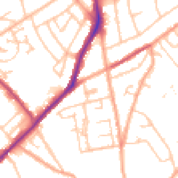
Daytime· 07:00 – 23:00
51.4dB

Night-time· 23:00 – 07:00
41.5dB