19 Burton Crescent, Wolverhampton, WV10 0EE
About 19 Burton Crescent
19 Burton Crescent is a three-bedroom end-of-terrace house in Wolverhampton (WV10 0EE). It has a recorded floor area of 97 m² (around 1041 sq ft), construction records dating it to 1930-1949 and council tax band A. The latest certificate (June 2009) shows a D (score 64), on the cusp of jumping into the C band. The recommended improvements would push it to C (score 71). The latest certificate is from June 2009, so improvements made since then won't be reflected.
At 97 m² the property is well over the postcode median (65 m² across 38 EPCs), placing it in the larger end of the local stock. Across 2003–2014, sale prices on this property compounded at 3.8% per year. Today's modelled estimate of £163,000 sits 87.4% above the 2014 sale of £87,000. Last sold in June 2014, so it's been off the market for around 12 years.
What this property has
Inside
- Bedrooms3
Everything you need to know about 19 Burton Crescent
The true value, the hidden risks and the full sale history, in one report.
Pick your report · every report is £14.99
One time fee only - money back guarantee

The data behind every report


Energy performance
19 Burton Crescent's EPC is over a decade old — improvements since won't be reflected.
EPC Expired
This certificate is over 10 years old and is no longer valid.Expired 28 Jun 2019
EPC Rating
Get a survey for this property
Level 2 HomeBuyer Report
We've checked 10 risk factors against the available data for this property and believe a Level 2 HomeBuyer Report could be a suitable option for you.
From £495 · Includes VAT
Planning history
19 Burton Crescent has no planning applications on record.
But the area is active
4 notable applications nearby — larger schemes and conversions that could reshape the street. The report maps them all.
Sales history & valuation
19 Burton Crescent valuation sits well clear of the typical sold price in this postcode.
£163,000
Modelled from EPC, postcode comparables and a sale-price growth of 3.8% per year over 11 years.
£87,000
Growth on file: 3.8% per year over 11 years.
Sales timeline
12 June 2014Most recent
£87,000
+20.8%over 2 years15 September 2011
£72,000
+24.1%over 8 years7 September 2003
£58,000
Median price across the last 5 sales in WV10 0EE: £72,500 (2023–2009).
Nearby sales in WV10 0EE
27 Burton Crescent, Wolverhampton, WV10 0EE
Sold Oct 2023
£176,00087 Burton Crescent, Wolverhampton, WV10 0EE
Sold Mar 2021
£72,50023 Burton Crescent, Wolverhampton, WV10 0EE
Sold Apr 2011
£65,00047 Burton Crescent, Wolverhampton, WV10 0EE
Sold Aug 2009
£75,00043 Burton Crescent, Wolverhampton, WV10 0EE
Sold Nov 2006
£112,000
Versus other Burton Crescent homes
19 Burton Crescent is notably below the street on years held.
Price per m²
£900
Street avg £1,253
Floor Area
97 m²
Street avg 81 m²
Habitable Rooms
5 rooms
Street avg 5 rooms
CO₂ Emissions
3.7 t/year
Street avg 4.2 t/year
Everything you need to know about 19 Burton Crescent
The true value, the hidden risks and the full sale history, in one report.
Pick your report · every report is £14.99
One time fee only - money back guarantee
The data behind every report
Similar properties nearby
The neighbourhood at a glance
Rail-style transport is unusually close for this postcode.
Crime
6/mo
Steady year-on-year across the wider district.
Nearest stop
0.4 km
Wolverhampton Rail Station — railway station.
Closest school
0.3 km
Thomas Telford University Technical College. 38 schools nearby.
Go deeper on the local area
A Local Area report breaks down crime, transport links, schools and air quality in depth.
Road noise across the postcode
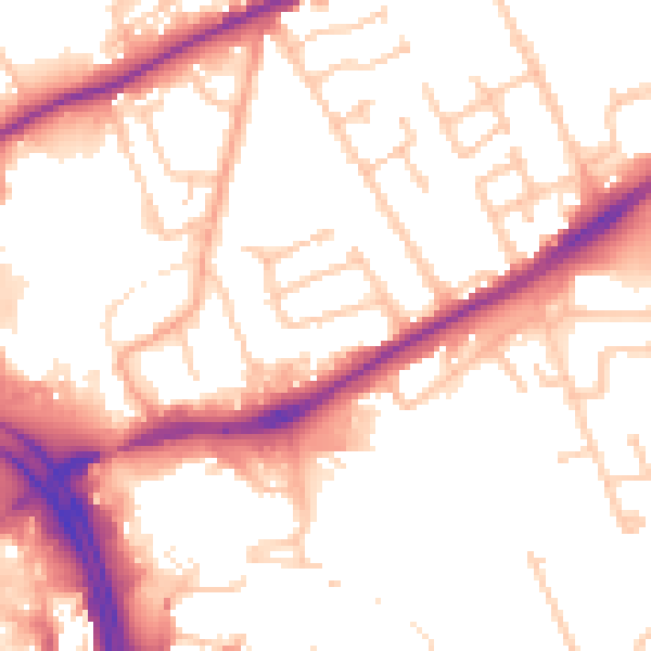
Daytime· 07:00 – 23:00
53.7dB

Night-time· 23:00 – 07:00
44.4dB