87 Burton Crescent, Wolverhampton, WV10 0EE
About 87 Burton Crescent
87 Burton Crescent is a mid-terrace house in Wolverhampton (WV10 0EE). It has a recorded floor area of 37 m² (around 398 sq ft), construction records dating it to 1950-1966 and council tax band A. At 37 m² this is the smallest unit on EPC record across the building (37–140 m²). The building's EPC ratings span F to B across 39 units on file. The latest certificate (October 2020) shows a C (score 71). When first surveyed in February 2009 the rating was D, the property has climbed 1 band since. Between certificates, lighting went from Good to Very Good.
At 37 m² it sits well below the postcode median (65 m² across 38 EPCs), making it one of the more compact homes locally. Its energy rating outperforms most of the postcode (better than 71% of similar EPCs). Across 2015–2021, sale prices on this property compounded at 25.3% per year. Today's modelled estimate of £100,000 is 37.9% above the 2021 sale price. On a £-per-square-foot basis, the last sale (£182/sq ft) was about 112.1% above the typical sold price in the postcode. Most recent transfer: March 2021 at £72,500. That sale was during the post-pandemic price surge, when transactions cleared materially above pre-2020 trend.
Everything you need to know about 87 Burton Crescent
The true value, the hidden risks and the full sale history, in one report.
Pick your report · every report is £14.99
One time fee only - money back guarantee

The data behind every report


Energy performance
EPC Rating
Property Improvements
Changes detected from historical EPC data
Heating controls upgraded for better temperature management
More low energy lighting installed
Get a survey for this property
Level 2 HomeBuyer Report
We've checked 10 risk factors against the available data for this property and believe a Level 2 HomeBuyer Report could be a suitable option for you.
From £445 · Includes VAT
Planning history
87 Burton Crescent has no planning applications on record.
But the area is active
4 notable applications nearby — larger schemes and conversions that could reshape the street. The report maps them all.
Sales history & valuation
Sale price has grown by over 3x since 2015.
£100,000
Modelled from EPC, postcode comparables and a sale-price growth of 25.3% per year over 6 years.
£72,500
Growth on file: 25.3% per year over 6 years.
Sales timeline
22 March 2021Most recent
£72,500
+245.2%over 5 years20 September 2015
£21,000
Median price across the last 5 sales in WV10 0EE: £75,000 (2023–2009).
Nearby sales in WV10 0EE
27 Burton Crescent, Wolverhampton, WV10 0EE
Sold Oct 2023
£176,00019 Burton Crescent, Wolverhampton, WV10 0EE
Sold Jun 2014
£87,00023 Burton Crescent, Wolverhampton, WV10 0EE
Sold Apr 2011
£65,00047 Burton Crescent, Wolverhampton, WV10 0EE
Sold Aug 2009
£75,00043 Burton Crescent, Wolverhampton, WV10 0EE
Sold Nov 2006
£112,000
Versus other Burton Crescent homes
On floor area, 87 Burton Crescent runs well behind the street norm.
EPC Rating
71 (C)
Street avg 76 (C)
Floor Area
37 m²
Street avg 46 m²
CO₂ Emissions
1.6 t/year
Street avg 1.2 t/year
Everything you need to know about 87 Burton Crescent
The true value, the hidden risks and the full sale history, in one report.
Pick your report · every report is £14.99
One time fee only - money back guarantee
The data behind every report
Similar properties nearby
The neighbourhood at a glance
Rail-style transport is unusually close for this postcode.
Crime
6/mo
Steady year-on-year across the wider district.
Nearest stop
0.4 km
Wolverhampton Rail Station — railway station.
Closest school
0.3 km
Thomas Telford University Technical College. 38 schools nearby.
Go deeper on the local area
A Local Area report breaks down crime, transport links, schools and air quality in depth.
Road noise across the postcode
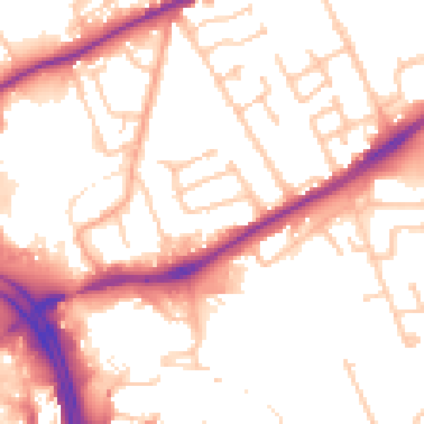
Daytime· 07:00 – 23:00
53.7dB

Night-time· 23:00 – 07:00
44.4dB