85 Lily Lane, Bamfurlong, Wigan, WN2 5JW
About 85 Lily Lane
85 Lily Lane is a three-bedroom property in Bamfurlong, Wigan, Wigan (WN2 5JW). It has council tax band C.
Untraded for 19 years, with the last transfer in March 2007. That sale landed at the peak of the pre-credit-crunch market, which is a useful reference point when interpreting the price. Across 2006–2007, sale prices on this property compounded at 33.3% per year.
What this property has
Inside
- Bedrooms3
Outside
- ParkingYes
Building
- Central heatingYes
Everything you need to know about 85 Lily Lane
The true value, the hidden risks and the full sale history, in one report.
Pick your report · every report is £14.99
One time fee only - money back guarantee

The data behind every report


Energy performance
No EPC on record
This property doesn't have an Energy Performance Certificate yet. An EPC is required to sell or let — and unlocks our automated valuation.
Get a survey for this property
Level 2 HomeBuyer Report
We've checked 10 risk factors against the available data for this property and believe a Level 2 HomeBuyer Report could be a suitable option for you.
Planning history
85 Lily Lane has no planning applications on record.
But the area is active
8 notable applications nearby — larger schemes and conversions that could reshape the street. The report maps them all.
Sales history & valuation
85 Lily Lane changed hands twice within eighteen months — unusual for the area.
£137,000
Growth on file: 33.3% per year over 1 year.
Sales timeline
1 March 2007Most recent
£137,000
+37.0%over 1 year25 January 2006
£100,000
Median price across the last 5 sales in WN2 5JW: £92,000 (2024–2020).
Nearby sales in WN2 5JW
103 Lily Lane, Bamfurlong, Wigan, WN2 5JW
Sold Aug 2024
£57,50073 Lily Lane, Bamfurlong, Wigan, WN2 5JW
Sold Jan 2023
£210,000109 Lily Lane, Bamfurlong, Wigan, WN2 5JW
Sold Dec 2020
£92,00083 Lily Lane, Bamfurlong, Wigan, WN2 5JW
Sold Feb 2020
£95,60079 Lily Lane, Bamfurlong, Wigan, WN2 5JW
Sold Oct 2016
£67,000
Everything you need to know about 85 Lily Lane
The true value, the hidden risks and the full sale history, in one report.
Pick your report · every report is £14.99
One time fee only - money back guarantee
The data behind every report
Similar properties nearby
1 Croal Avenue, Platt Bridge
WN2 5EY
1 Byron Close, Abram
WN2 5PY
1 Ansford Avenue, Abram
WN2 5PQ
1 Crabtree Cottages, Lee Lane, Abram
WN2 5QS
1 Ashwood Avenue, Abram
WN2 5YE
1 Beech Grove, Abram
WN2 5YG
1 Coverdale Close, Platt Bridge
WN2 5EN
1 Aspinall Street, Platt Bridge
WN2 5NR
The neighbourhood at a glance
Daytime road noise here sits well below conversation level — a quiet pocket of the postcode.
Nearest stop
0.0 km
Enid's End — bus stop.
Closest school
0.9 km
Holy Family Catholic Academy. 9 schools nearby.
Go deeper on the local area
A Local Area report breaks down crime, transport links, schools and air quality in depth.
Road noise across the postcode
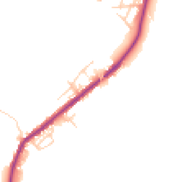
Daytime· 07:00 – 23:00
45.4dB

Night-time· 23:00 – 07:00
39.2dB