11 Willow Gardens, Alverthorpe, Wakefield, WF2 9TA
About 11 Willow Gardens
11 Willow Gardens is a semi-detached house in Alverthorpe, Wakefield, Wakefield (WF2 9TA). It has a recorded floor area of 67 m² (around 721 sq ft), construction records dating it to 1996-2002 and council tax band B. The latest certificate (February 2018) shows a C (score 72). The recommended improvements would push it to B (score 87).
Across 1998–2020, sale prices on this property compounded at 4.9% per year. Today's modelled estimate of £183,000 is 11.4% above the 2020 sale price. On a £-per-square-foot basis, the last sale (£228/sq ft) was about 32.1% above the typical sold price in the postcode. At 67 m² it's 23% smaller than the typical home in the postcode (87 m² median across 4 EPCs). Last sale on file: £164,200 in September 2020.
Everything you need to know about 11 Willow Gardens
The true value, the hidden risks and the full sale history, in one report.
Pick your report · every report is £14.99
One time fee only - money back guarantee

The data behind every report


Energy performance
EPC Rating
Get a survey for this property
Level 2 HomeBuyer Report
We've checked 10 risk factors against the available data for this property and believe a Level 2 HomeBuyer Report could be a suitable option for you.
From £495 · Includes VAT
Planning history
11 Willow Gardens has no planning applications on record.
But the area is active
3 notable applications nearby — larger schemes and conversions that could reshape the street. The report maps them all.
Sales history & valuation
Sale price has at least doubled since 1998.
£183,000
Modelled from EPC, postcode comparables and a sale-price growth of 4.9% per year over 22 years.
£164,200
Growth on file: 4.9% per year over 22 years.
Sales timeline
24 September 2020Most recent
£164,200
+17.3%over 4 years29 June 2016
£139,995
+141.4%over 17 years27 November 1998
£57,995
Median price across the last 5 sales in WF2 9TA: £238,000 (2023–2016).
Nearby sales in WF2 9TA
3 Willow Gardens, Alverthorpe, Wakefield, WF2 9TA
Sold Sept 2023
£360,0005 Willow Gardens, Alverthorpe, Wakefield, WF2 9TA
Sold Jan 2022
£260,00015 Willow Gardens, Alverthorpe, Wakefield, WF2 9TA
Sold Jun 2021
£175,0001 Willow Gardens, Alverthorpe, Wakefield, WF2 9TA
Sold Apr 2021
£238,0009 Willow Gardens, Alverthorpe, Wakefield, WF2 9TA
Sold Feb 2003
£142,500
Versus other Willow Gardens homes
On price per m², 11 Willow Gardens runs well behind the street norm.
Price per m²
£2,451
Street avg £2,781
Floor Area
67 m²
Street avg 93 m²
Habitable Rooms
4 rooms
Street avg 5 rooms
CO₂ Emissions
2.4 t/year
Street avg 3.4 t/year
Everything you need to know about 11 Willow Gardens
The true value, the hidden risks and the full sale history, in one report.
Pick your report · every report is £14.99
One time fee only - money back guarantee
The data behind every report
Similar properties nearby
The neighbourhood at a glance
Reported crime in the wider district is trending notably upward year-on-year.
Crime
7/mo
Rising year-on-year across the wider district.
Nearest stop
0.1 km
Flanshaw Lane Willow Ln — bus stop.
Closest school
0.4 km
Alverthorpe St Paul's CofE (VA) School 3-11yrs. 21 schools nearby.
Go deeper on the local area
A Local Area report breaks down crime, transport links, schools and air quality in depth.
Road noise across the postcode
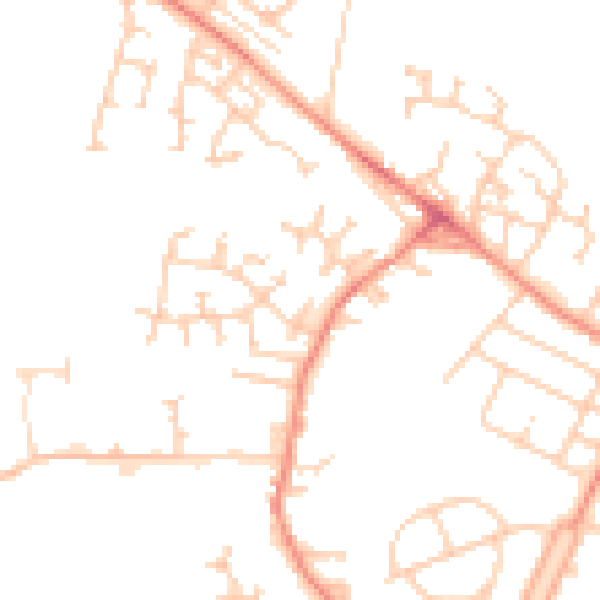
Daytime· 07:00 – 23:00
49.0dB

Night-time· 23:00 – 07:00
37.9dB