2 Brentlea Avenue, Wakefield, WF2 7SE
About 2 Brentlea Avenue
2 Brentlea Avenue is a three-bedroom semi-detached house in Wakefield (WF2 7SE). It has a recorded floor area of 76 m² (around 818 sq ft), construction records dating it to 1930-1949 and council tax band B. The latest certificate (September 2020) shows a D (score 65), on the cusp of jumping into the C band. The recommended improvements would lift it to B (score 85), a 2-band jump. The home occupies a corner plot and a cul-de-sac position.
Across 2020–2021, sale prices on this property compounded at 73.9% per year. Today's modelled estimate of £243,000 is 21.5% above the 2021 sale price. On a £-per-square-foot basis, the last sale (£244/sq ft) was about 37.9% above the typical sold price in the postcode. Most recent transfer: July 2021 at £200,000. That sale was during the post-pandemic price surge, when transactions cleared materially above pre-2020 trend.
What this property has
Inside
- Bedrooms3
- Bathrooms1
Outside
- Private gardenYes
- Corner plotYes
- Cul-de-sacYes
Building
- Heating systemGas
- RefurbishedYes
Everything you need to know about 2 Brentlea Avenue
The true value, the hidden risks and the full sale history, in one report.
Pick your report · every report is £14.99
One time fee only - money back guarantee

The data behind every report


Energy performance
Recommended upgrades on file would lift this property by multiple EPC bands.
EPC Rating
Get a survey for this property
Level 2 HomeBuyer Report
We've checked 10 risk factors against the available data for this property and believe a Level 2 HomeBuyer Report could be a suitable option for you.
From £545 · Includes VAT
Planning history
2 Brentlea Avenue has no planning applications on record.
A planning report still maps activity across the surrounding area and reads this property's extension & conversion potential.
Sales history & valuation
2 Brentlea Avenue changed hands twice within eighteen months — unusual for the area.
£243,000
Modelled from EPC, postcode comparables and a sale-price growth of 73.9% per year over 1 year.
£200,000
Growth on file: 73.9% per year over 1 year.
Sales timeline
28 July 2021Most recent
£200,000
+73.9%over 9 months19 October 2020
£115,000
Median price across the last 5 sales in WF2 7SE: £195,000 (2024–2018).
Nearby sales in WF2 7SE
Versus other Brentlea Avenue homes
2 Brentlea Avenue is notably below the street on floor area.
Price per m²
£2,632
Street avg £2,056
Floor Area
76 m²
Street avg 82 m²
Habitable Rooms
5 rooms
Street avg 5 rooms
CO₂ Emissions
3.4 t/year
Street avg 4.5 t/year
Everything you need to know about 2 Brentlea Avenue
The true value, the hidden risks and the full sale history, in one report.
Pick your report · every report is £14.99
One time fee only - money back guarantee
The data behind every report
Similar properties nearby
The neighbourhood at a glance
Reported crime in the wider district is trending notably upward year-on-year.
Crime
7/mo
Rising year-on-year across the wider district.
Nearest stop
0.2 km
Thornes Lane — bus stop.
Closest school
0.2 km
Methodist Voluntary Controlled Junior, Infant and Nursery School: With Communication Resource. 21 schools nearby.
Go deeper on the local area
A Local Area report breaks down crime, transport links, schools and air quality in depth.
Road noise across the postcode
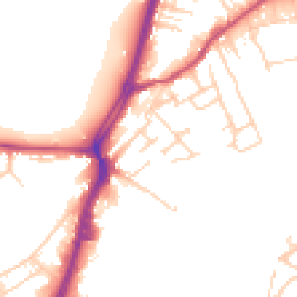
Daytime· 07:00 – 23:00
50.9dB

Night-time· 23:00 – 07:00
41.9dB