14 Avon Close, Watford, WD25 0DN
About 14 Avon Close
14 Avon Close is a semi-detached house in Watford (WD25 0DN). It has a recorded floor area of 55 m² (around 597 sq ft), construction records dating it to 1950-1966 and council tax band C. At 55 m² this is the 11th smallest of 25 units on EPC record in the building, where floor areas span 51–101 m². The building's EPC ratings span E to C across 25 units on file. The latest certificate (February 2011) shows a D (score 67), on the cusp of jumping into the C band. The recommended improvements would lift it to B (score 83), a 2-band jump. The latest certificate is from February 2011, so improvements made since then won't be reflected.
Held since April 2003 — that's 23 years off the open market, well above the local norm. Across 1997–2003, sale prices on this property compounded at 21% per year. Today's modelled estimate of £277,000 sits 78.7% above the 2003 sale of £155,000.
Everything you need to know about 14 Avon Close
The true value, the hidden risks and the full sale history, in one report.
30-day money-back guarantee

The data behind every report


Energy performance
Recommended upgrades on file would lift this property by multiple EPC bands.
EPC Expired
This certificate is over 10 years old and is no longer valid.Expired 01 Feb 2021
EPC Rating
Planning history
14 Avon Close has no planning applications on record.
Notable planning nearby
2applications of note in the surrounding area
Sales history & valuation
Sale price has grown by over 3x since 1997.
£277,000
Modelled from EPC, postcode comparables and a sale-price growth of 21.0% per year over 6 years.
£155,000
Growth on file: 21.0% per year over 6 years.
Sales timeline
24 April 2003Most recent
£155,000
+19.3%over 10 months12 June 2002
£129,950
+176.5%over 5 years20 January 1997
£47,000
Median price across the last 5 sales in WD25 0DN: £505,000 (2025–2021).
Versus other Avon Close homes
Years Held for 14 Avon Close runs comfortably ahead of the street norm.
Price per m²
£2,793
Street avg £3,537
Floor Area
55 m²
Street avg 54 m²
Habitable Rooms
3 rooms
Street avg 3 rooms
CO₂ Emissions
2.8 t/year
Street avg 2.4 t/year
Everything you need to know about 14 Avon Close
The true value, the hidden risks and the full sale history, in one report.
30-day money-back guarantee
The data behind every report
Similar properties nearby
The neighbourhood at a glance
Rail-style transport is unusually close for this postcode.
Crime
4/mo
Steady year-on-year across the wider district.
Nearest stop
0.1 km
St Albans Road — bus stop.
Closest school
0.7 km
The Grove Academy. 24 schools nearby.
Go deeper on the local area
The full report breaks down crime, transport links, schools and air quality in depth.
Road noise across the postcode
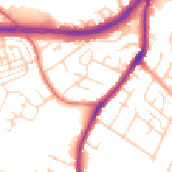
Daytime· 07:00 – 23:00
53.4dB

Night-time· 23:00 – 07:00
45.3dB