12a, Avon Close, Watford, WD25 0DN
About 12a
12a is a semi-detached house in Watford (WD25 0DN). It has a recorded floor area of 55 m² (around 592 sq ft), construction records dating it to 1950-1966 and council tax band C. The latest certificate (September 2014) shows a C (score 71). When first surveyed in August 2014 the rating was D, the property has climbed 1 band since. Between certificates, wall efficiency went from Poor to Good. The latest certificate is from September 2014, so improvements made since then won't be reflected.
It hasn't traded since August 2004, a hold of 22 years that's notably long for the area. Across 1996–2004, sale prices on this property compounded at 14.1% per year. Today's modelled estimate of £298,000 sits 92.3% above the 2004 sale of £155,000. One historical planning record sits against the property in 2013.
Everything you need to know about 12a
The true value, the hidden risks and the full sale history, in one report.
30-day money-back guarantee

The data behind every report


Energy performance
12a's EPC is over a decade old — improvements since won't be reflected.
EPC Expired
This certificate is over 10 years old and is no longer valid.Expired 14 Sept 2024
EPC Rating
Property Improvements
Changes detected from historical EPC data
Cavity wall insulation installed
Planning history
- Nov 2013RenovationFullIn report
Proposed dropped kerb to create vehicular access at front of property
- Documents
- 27 docs on file
- Reference
- 13/01004/FUL
What's in 12a, Avon Close, Watford, WD25 0DN's planning history?
Refusals, disputes and full decisions on this property and nearby, in the report.
Sales history & valuation
12a has more than doubled in price since the earliest registered sale in 1996.
£298,000
Modelled from EPC, postcode comparables and a sale-price growth of 14.1% per year over 8 years.
£155,000
Growth on file: 14.1% per year over 8 years.
Sales timeline
9 August 2004Most recent
£155,000
+176.8%over 7 years28 November 1996
£56,000
Median price across the last 5 sales in WD25 0DN: £505,000 (2025–2021).
Versus other Avon Close homes
12a outperforms the street on years held by a wide margin.
Price per m²
£2,818
Street avg £3,535
Floor Area
55 m²
Street avg 54 m²
Habitable Rooms
3 rooms
Street avg 3 rooms
CO₂ Emissions
1.9 t/year
Street avg 2.4 t/year
Everything you need to know about 12a
The true value, the hidden risks and the full sale history, in one report.
30-day money-back guarantee
The data behind every report
Similar properties nearby
The neighbourhood at a glance
Rail-style transport is unusually close for this postcode.
Crime
4/mo
Steady year-on-year across the wider district.
Nearest stop
0.1 km
St Albans Road — bus stop.
Closest school
0.7 km
The Grove Academy. 24 schools nearby.
Go deeper on the local area
The full report breaks down crime, transport links, schools and air quality in depth.
Road noise across the postcode
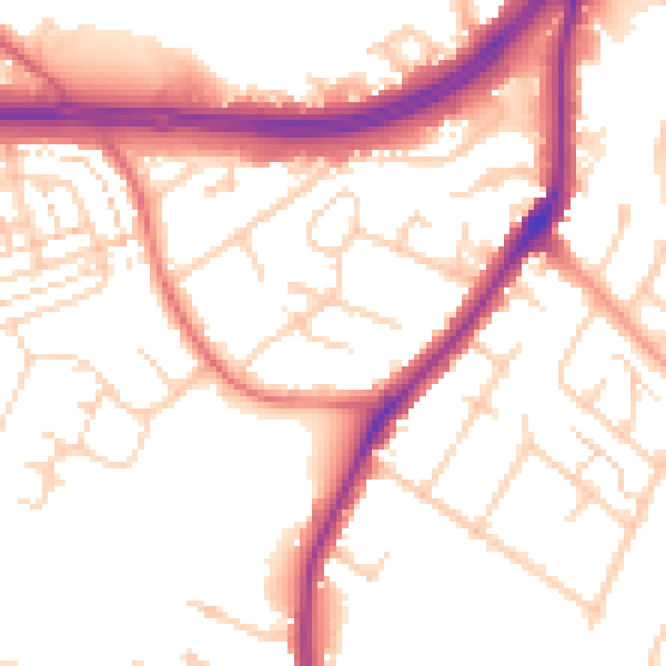
Daytime· 07:00 – 23:00
53.4dB

Night-time· 23:00 – 07:00
45.3dB