10 Avon Close, Watford, WD25 0DN
About 10 Avon Close
10 Avon Close is an end-of-terrace house in Watford (WD25 0DN). It has a recorded floor area of 60 m² (around 646 sq ft), construction records dating it to 1950-1966 and council tax band C. The latest certificate (September 2014) shows an E (score 48), well below the UK norm with real room to improve. The recommended improvements would push it to D (score 62). Main heating runs on electricity. The latest certificate is from September 2014, so improvements made since then won't be reflected.
Untraded for 28 years, with the last transfer in April 1998. Only one transfer is on record with HM Land Registry, suggesting it has stayed in the same hands for a long time. Today's modelled estimate of £299,000 sits 333.3% above the 1998 sale of £69,000. On a £-per-square-foot basis, the last sale (£107/sq ft) was about 61.9% below the postcode norm. It lags the bulk of the postcode on energy efficiency (less efficient than 88% of similar EPCs).
Everything you need to know about 10 Avon Close
The true value, the hidden risks and the full sale history, in one report.
30-day money-back guarantee

The data behind every report


Energy performance
10 Avon Close's EPC is over a decade old — improvements since won't be reflected.
EPC Expired
This certificate is over 10 years old and is no longer valid.Expired 08 Sept 2024
EPC Rating
Planning history
10 Avon Close has no planning applications on record.
Notable planning nearby
2applications of note in the surrounding area
Sales history & valuation
10 Avon Close's modelled value sits at over four times its earliest registered sale price (1998).
£299,000
Modelled from EPC, postcode comparables.
£69,000
Recorded with HM Land Registry.
Sales timeline
16 April 1998Most recent
£69,000
Median price across the last 5 sales in WD25 0DN: £505,000 (2025–2021).
Versus other Avon Close homes
Years Held for 10 Avon Close runs comfortably ahead of the street norm.
Price per m²
£1,150
Street avg £3,702
Floor Area
60 m²
Street avg 54 m²
Habitable Rooms
3 rooms
Street avg 3 rooms
CO₂ Emissions
5.9 t/year
Street avg 2.1 t/year
Everything you need to know about 10 Avon Close
The true value, the hidden risks and the full sale history, in one report.
30-day money-back guarantee
The data behind every report
Similar properties nearby
The neighbourhood at a glance
Rail-style transport is unusually close for this postcode.
Crime
4/mo
Steady year-on-year across the wider district.
Nearest stop
0.1 km
St Albans Road — bus stop.
Closest school
0.7 km
The Grove Academy. 24 schools nearby.
Go deeper on the local area
The full report breaks down crime, transport links, schools and air quality in depth.
Road noise across the postcode
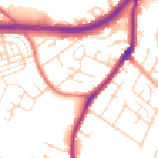
Daytime· 07:00 – 23:00
53.4dB

Night-time· 23:00 – 07:00
45.3dB