20a, North Western Avenue, Watford, WD25 0AE
About 20a
20a is a semi-detached house in Watford (WD25 0AE). It has a recorded floor area of 51 m² (around 549 sq ft), construction records dating it to 1900-1929 and council tax band B. The latest certificate (July 2021) shows a D (score 68), on the cusp of jumping into the C band. The rating has held steady at D across 2 certificates since March 2011. Between certificates, lighting went from Poor to Very Good. The recommended improvements would push it to C (score 76). At 51 m² this is the 3rd smallest of 20 units on EPC record in the building, where floor areas span 45–130 m². The building's EPC ratings span E to B across 20 units on file.
At 51 m² it sits well below the postcode median (104 m² across 19 EPCs), making it one of the more compact homes locally.
Everything you need to know about 20a
The true value, the hidden risks and the full sale history, in one report.
30-day money-back guarantee

The data behind every report


Energy performance
EPC Rating
Property Improvements
Changes detected from historical EPC data
Heating controls changed
More low energy lighting installed
Planning history
20a has no planning applications on record.
Notable planning nearby
2applications of note in the surrounding area
Sales history & valuation
20a has no Land Registry sales on file, suggesting it has stayed in the same hands since registration began.
£266,000
Modelled from EPC, postcode comparables.
No sales recorded with HM Land Registry
That can mean the property has never traded since the registry began publishing in 1995, was a new build that hasn't been registered yet, or is held in the same hands long-term.
Median price across the last 5 sales in WD25 0AE: £535,000 (2024–2021).
Nearby sales in WD25 0AE
44 North Western Avenue, Watford, WD25 0AE
Sold Oct 2024
£535,00020 North Western Avenue, Watford, WD25 0AE
Sold Aug 2023
£278,00018 North Western Avenue, Watford, WD25 0AE
Sold Jun 2023
£525,00058 North Western Avenue, Watford, WD25 0AE
Sold Aug 2022
£680,00056 North Western Avenue, Watford, WD25 0AE
Sold Aug 2021
£555,000
Versus other North Western Avenue homes
Habitable Rooms for 20a runs comfortably ahead of the street norm.
EPC Rating
68 (D)
Street avg 72 (C)
Floor Area
51 m²
Street avg 50 m²
CO₂ Emissions
2.2 t/year
Street avg 2.2 t/year
Habitable Rooms
3 rooms
Street avg 2 rooms
Everything you need to know about 20a
The true value, the hidden risks and the full sale history, in one report.
30-day money-back guarantee
The data behind every report
Similar properties nearby
The neighbourhood at a glance
Rail-style transport is unusually close for this postcode.
Crime
4/mo
Steady year-on-year across the wider district.
Nearest stop
0.2 km
Library — bus stop.
Closest school
0.5 km
Parkgate Infants' and Nursery School. 29 schools nearby.
Go deeper on the local area
The full report breaks down crime, transport links, schools and air quality in depth.
Road noise across the postcode
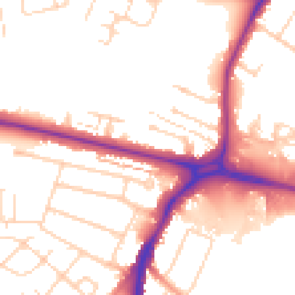
Daytime· 07:00 – 23:00
52.7dB

Night-time· 23:00 – 07:00
43.9dB