19 Sandown Road, Watford, WD24 7DH
About 19 Sandown Road
19 Sandown Road is a semi-detached house in Watford (WD24 7DH). It has a recorded floor area of 102 m² (around 1098 sq ft), construction records dating it to 1930-1949 and council tax band D. The latest certificate (March 2025) shows a D (score 57), a step below the typical UK home. The recommended improvements would push it to C (score 80).
One historical planning record sits against the property in 2007.
Everything you need to know about 19 Sandown Road
The true value, the hidden risks and the full sale history, in one report.
30-day money-back guarantee

The data behind every report


Energy performance
EPC Rating
Planning history
- May 2007ExtensionFullIn report
Extension: Single storey · Rear of property
Erection of ground floor rear extension
- Documents
- 16 docs on file
- Reference
- 07/00337/FUL
We flagged 1 thing worth checking at 19 Sandown Road
Independent checks surfaced things a buyer would want to understand before offering. The report explains each one in full, with the underlying data and what to ask.
- Larger development activity nearby
30-day money-back guarantee
Sales history & valuation
19 Sandown Road has no Land Registry sales on file, suggesting it has stayed in the same hands since registration began.
£545,000
Modelled from EPC, postcode comparables.
No sales recorded with HM Land Registry
That can mean the property has never traded since the registry began publishing in 1995, was a new build that hasn't been registered yet, or is held in the same hands long-term.
Median price across the last 5 sales in WD24 7DH: £242,000 (2022–2004).
Nearby sales in WD24 7DH
Versus other Sandown Road homes
EPC Rating for 19 Sandown Road lags the street by a wide margin.
EPC Rating
57 (D)
Street avg 65 (D)
Floor Area
102 m²
Street avg 100 m²
CO₂ Emissions
5.4 t/year
Street avg 4.0 t/year
Habitable Rooms
4 rooms
Street avg 5 rooms
Everything you need to know about 19 Sandown Road
The true value, the hidden risks and the full sale history, in one report.
30-day money-back guarantee
The data behind every report
Similar properties nearby
10 Neston Road
WD24 7BW
10 Bushey Mill Crescent
WD24 7RD
1 Woodmere Avenue
WD24 7LR
1 Sandown Road
WD24 7DH
1 Northfield Gardens
WD24 7RF
10 Hillrise Avenue
WD24 7NR
1 Buckingham Road
WD24 7BT
1 Lester Court, Buckingham Road
WD24 7BT
The neighbourhood at a glance
Rail-style transport is unusually close for this postcode.
Crime
4/mo
Rising year-on-year across the wider district.
Nearest stop
0.2 km
Windsor Road — bus stop.
Closest school
0.3 km
Parkgate Junior School. 32 schools nearby.
Go deeper on the local area
The full report breaks down crime, transport links, schools and air quality in depth.
Road noise across the postcode
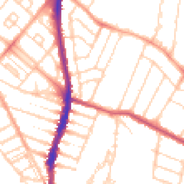
Daytime· 07:00 – 23:00
51.6dB

Night-time· 23:00 – 07:00
41.0dB