15a, Sandown Road, Watford, WD24 7DH
About 15a
15a is a one-bedroom semi-detached house in Watford (WD24 7DH). It has a recorded floor area of 39 m² (around 420 sq ft), construction records dating it to 1900-1929 and council tax band C. The latest certificate (November 2017) shows a D (score 65), on the cusp of jumping into the C band. The recommended improvements would push it to C (score 75). Our model identifies extension potential, subject to local planning policy.
At 39 m² it sits well below the postcode median (97 m² across 6 EPCs), making it one of the more compact homes locally. 1 bedrooms is on the smaller side for this postcode, where 3 is the typical count. Today's modelled estimate of £271,000 is 12% above the 2018 sale price. On a £-per-square-foot basis, the last sale (£576/sq ft) was about 192.8% above the typical sold price in the postcode. Last changed hands 8 years ago, in May 2018. One historical planning record sits against the property in 2016.
What this property has
Inside
- Bedrooms1
- Bathrooms1
Outside
- Private gardenYes
- ParkingOff street
Building
- Extension potentialPossible
Everything you need to know about 15a
The true value, the hidden risks and the full sale history, in one report.
30-day money-back guarantee

The data behind every report


Energy performance
EPC Rating
Planning history
- Oct 2016ExtensionFullIn report
Extension: Single storey · Rear of property
Erection of a single storey rear extension.
- Documents
- 11 docs on file
- Reference
- 16/01205/FULH
We flagged 1 thing worth checking at 15a
Independent checks surfaced things a buyer would want to understand before offering. The report explains each one in full, with the underlying data and what to ask.
- Larger development activity nearby
30-day money-back guarantee
Sales history & valuation
15a valuation sits well clear of the typical sold price in this postcode.
£271,000
Modelled from EPC, postcode comparables.
£242,000
Recorded with HM Land Registry.
Sales timeline
20 May 2018Most recent
£242,000
Median price across the last 5 sales in WD24 7DH: £197,000 (2022–2003).
Everything you need to know about 15a
The true value, the hidden risks and the full sale history, in one report.
30-day money-back guarantee
The data behind every report
Similar properties nearby
1 Southwold Road
WD24 7DP
10 Hillrise Avenue
WD24 7NR
1 Norfolk Avenue
WD24 7DZ
1 Parkgate Road
WD24 7BS
1 Bushey Mill Lane
WD24 7QT
10 Neston Road
WD24 7BW
1 Woodmere Avenue
WD24 7LR
1 Northfield Gardens
WD24 7RF
The neighbourhood at a glance
Rail-style transport is unusually close for this postcode.
Crime
4/mo
Rising year-on-year across the wider district.
Nearest stop
0.2 km
Windsor Road — bus stop.
Closest school
0.3 km
Parkgate Junior School. 32 schools nearby.
Go deeper on the local area
The full report breaks down crime, transport links, schools and air quality in depth.
Road noise across the postcode
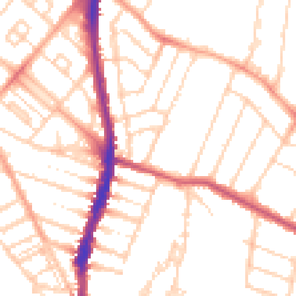
Daytime· 07:00 – 23:00
51.6dB

Night-time· 23:00 – 07:00
41.0dB