69c, Berry Avenue, Watford, WD24 6RU
About 69c
69c is a semi-detached house in Watford (WD24 6RU). It has a recorded floor area of 55 m² (around 597 sq ft), construction records dating it to 2003-2006 and council tax band D. The latest certificate (April 2010) returns a B (score 83), comfortably above the UK average. The latest certificate is from April 2010, so improvements made since then won't be reflected.
It hasn't traded since May 2005, a hold of 21 years that's notably long for the area. At 55 m² it sits well below the postcode median (86 m² across 22 EPCs), making it one of the more compact homes locally. On energy efficiency it sits in the top 10% of properties in this postcode. Across 2002–2005, sale prices on this property compounded at -11.8% per year. Today's modelled estimate of £360,000 sits 109.9% above the 2005 sale of £171,500.
Everything you need to know about 69c
The true value, the hidden risks and the full sale history, in one report.
30-day money-back guarantee

The data behind every report


Energy performance
69c ranks among the most efficient homes in the postcode for energy use.
EPC Expired
This certificate is over 10 years old and is no longer valid.Expired 10 Apr 2020
EPC Rating
Planning history
69c has no planning applications on record.
Notable planning nearby
4applications of note in the surrounding area
We flagged 1 thing worth checking at 69c
Independent checks surfaced things a buyer would want to understand before offering. The report explains each one in full, with the underlying data and what to ask.
- Signs of HMO activity in the area
30-day money-back guarantee
Sales history & valuation
69c valuation sits well clear of the typical sold price in this postcode.
£360,000
Modelled from EPC, postcode comparables and a sale-price growth of -11.8% per year over 3 years.
£171,500
Growth on file: -11.8% per year over 3 years.
Sales timeline
25 May 2005Most recent
£171,500
-27.0%over 2 years22 November 2002
£235,000
Median price across the last 5 sales in WD24 6RU: £430,000 (2024–2021).
Versus other Berry Avenue homes
EPC Rating for 69c runs comfortably ahead of the street norm.
Price per m²
£3,093
Street avg £4,248
Floor Area
55 m²
Street avg 89 m²
Habitable Rooms
3 rooms
Street avg 5 rooms
CO₂ Emissions
1.4 t/year
Street avg 4.1 t/year
Everything you need to know about 69c
The true value, the hidden risks and the full sale history, in one report.
30-day money-back guarantee
The data behind every report
Similar properties nearby
The neighbourhood at a glance
Rail-style transport is unusually close for this postcode.
Crime
4/mo
Rising year-on-year across the wider district.
Nearest stop
0.3 km
Library — bus stop.
Closest school
0.3 km
Cherry Tree Primary School. 29 schools nearby.
Go deeper on the local area
The full report breaks down crime, transport links, schools and air quality in depth.
Road noise across the postcode
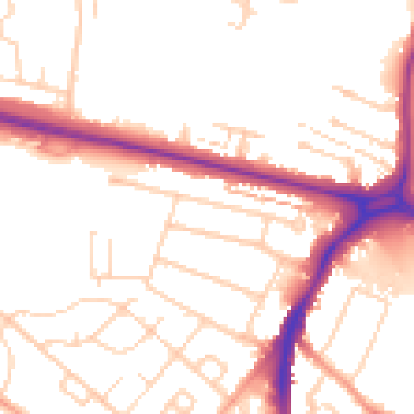
Daytime· 07:00 – 23:00
52.0dB

Night-time· 23:00 – 07:00
42.8dB