35a, Chestnut Walk, Watford, WD24 6NS
About 35a
35a is a semi-detached house in Watford (WD24 6NS). It has a recorded floor area of 44 m² (around 474 sq ft) and construction records dating it to 1930-1949. At 44 m² this is the smallest unit on EPC record across the building (44–132 m²). The building's EPC ratings span E to B across 37 units on file. The latest certificate (October 2016) shows a D (score 62), on the cusp of jumping into the C band. The rating has held steady at D across 2 certificates since October 2013. Between certificates, roof efficiency dropped from Average to Poor. The recommended improvements would push it to C (score 75).
Held since June 1998 — that's 28 years off the open market, well above the local norm. Only one transfer is on record with HM Land Registry, suggesting it has stayed in the same hands for a long time. Today's modelled estimate of £269,000 sits 258.7% above the 1998 sale of £75,000. On a £-per-square-foot basis, the last sale (£158/sq ft) was about 34.4% below the postcode norm. At 44 m² it sits well below the postcode median (88 m² across 36 EPCs), making it one of the more compact homes locally.
Everything you need to know about 35a
The true value, the hidden risks and the full sale history, in one report.
30-day money-back guarantee

The data behind every report


Energy performance
EPC Rating
Planning history
35a has no planning applications on record.
Notable planning nearby
4applications of note in the surrounding area
We flagged 1 thing worth checking at 35a
Independent checks surfaced things a buyer would want to understand before offering. The report explains each one in full, with the underlying data and what to ask.
- Signs of HMO activity in the area
30-day money-back guarantee
Sales history & valuation
35a's estimated value is more than triple its earliest registered sale price (1998).
£269,000
Modelled from EPC, postcode comparables.
£75,000
Recorded with HM Land Registry.
Sales timeline
21 June 1998Most recent
£75,000
Median price across the last 5 sales in WD24 6NS: £265,000 (2018–2014).
Nearby sales in WD24 6NS
Versus other Chestnut Walk homes
35a outperforms the street on years held by a wide margin.
Price per m²
£1,705
Street avg £2,588
Floor Area
44 m²
Street avg 60 m²
Habitable Rooms
2 rooms
Street avg 3 rooms
CO₂ Emissions
2.5 t/year
Street avg 1.9 t/year
Everything you need to know about 35a
The true value, the hidden risks and the full sale history, in one report.
30-day money-back guarantee
The data behind every report
Similar properties nearby
The neighbourhood at a glance
Reported crime in the wider district is trending notably upward year-on-year.
Crime
4/mo
Rising year-on-year across the wider district.
Nearest stop
0.2 km
Brett Place — bus stop.
Closest school
0.3 km
Cherry Tree Primary School. 33 schools nearby.
Go deeper on the local area
The full report breaks down crime, transport links, schools and air quality in depth.
Road noise across the postcode
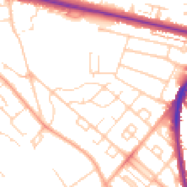
Daytime· 07:00 – 23:00
51.2dB

Night-time· 23:00 – 07:00
40.9dB