5 Ridge Street, Watford, WD24 6BL
About 5 Ridge Street
5 Ridge Street is a two-bedroom mid-terrace house in Watford (WD24 6BL). It has a recorded floor area of 70 m² (around 753 sq ft), construction records dating it to before 1900 and council tax band C. The latest certificate (August 2023) shows a D (score 56), a step below the typical UK home. The rating has held steady at D across 2 certificates since October 2012. Between certificates, lighting dropped from Average to Poor. The recommended improvements would lift it to B (score 88), a 2-band jump.
Held since January 2007 — that's 19 years off the open market, well above the local norm. That sale landed at the peak of the pre-credit-crunch market, which is a useful reference point when interpreting the price. Across 2004–2007, sale prices on this property compounded at 10.6% per year. Today's modelled estimate of £386,000 sits 83.9% above the 2007 sale of £209,950.
What this property has
Inside
- Bedrooms2
Everything you need to know about 5 Ridge Street
The true value, the hidden risks and the full sale history, in one report.
30-day money-back guarantee

The data behind every report


Energy performance
Recommended upgrades on file would lift this property by multiple EPC bands.
EPC Rating
Planning history
5 Ridge Street has no planning applications on record.
Notable planning nearby
4applications of note in the surrounding area
We flagged 1 thing worth checking at 5 Ridge Street
Independent checks surfaced things a buyer would want to understand before offering. The report explains each one in full, with the underlying data and what to ask.
- Signs of HMO activity in the area
30-day money-back guarantee
Sales history & valuation
The latest sale landed at the peak of the pre-credit-crunch market — a high-water reference point.
£386,000
Modelled from EPC, postcode comparables and a sale-price growth of 10.6% per year over 3 years.
£209,950
Growth on file: 10.6% per year over 3 years.
Sales timeline
31 January 2007Most recent
£209,950
+29.6%over 2 years8 July 2004
£162,000
Median price across the last 5 sales in WD24 6BL: £372,500 (2025–2023).
Versus other Ridge Street homes
Years Held for 5 Ridge Street runs comfortably ahead of the street norm.
Price per m²
£2,999
Street avg £4,128
Floor Area
70 m²
Street avg 74 m²
Habitable Rooms
3 rooms
Street avg 4 rooms
CO₂ Emissions
4.2 t/year
Street avg 3.7 t/year
Everything you need to know about 5 Ridge Street
The true value, the hidden risks and the full sale history, in one report.
30-day money-back guarantee
The data behind every report
Similar properties nearby
The neighbourhood at a glance
Rail-style transport is unusually close for this postcode.
Crime
4/mo
Rising year-on-year across the wider district.
Nearest stop
0.1 km
Maude Crescent — bus stop.
Closest school
0.4 km
Parkgate Junior School. 32 schools nearby.
Go deeper on the local area
The full report breaks down crime, transport links, schools and air quality in depth.
Road noise across the postcode
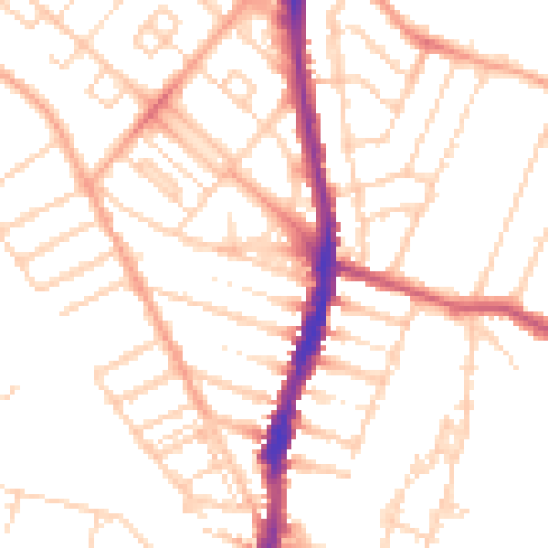
Daytime· 07:00 – 23:00
50.9dB

Night-time· 23:00 – 07:00
40.4dB