33 Ridge Street, Watford, WD24 6BL
About 33 Ridge Street
33 Ridge Street is a two-bedroom end-of-terrace house in Watford (WD24 6BL). It has a recorded floor area of 69 m² (around 738 sq ft), construction records dating it to 1900-1929 and council tax band C. The latest certificate (October 2011) shows an E (score 54), well below the UK norm with real room to improve. The recommended improvements would push it to D (score 60). The latest certificate is from October 2011, so improvements made since then won't be reflected.
Across 1997–2011, sale prices on this property compounded at 7.4% per year. Today's modelled estimate of £388,000 sits 103.7% above the 2011 sale of £190,500. It lags the bulk of the postcode on energy efficiency (less efficient than 83% of similar EPCs). 14 years since the last transfer (December 2011).
What this property has
Inside
- Bedrooms2
- Bathrooms1
- Dining roomYes
Everything you need to know about 33 Ridge Street
The true value, the hidden risks and the full sale history, in one report.
30-day money-back guarantee

The data behind every report


Energy performance
33 Ridge Street's EPC is over a decade old — improvements since won't be reflected.
EPC Expired
This certificate is over 10 years old and is no longer valid.Expired 09 Oct 2021
EPC Rating
Planning history
33 Ridge Street has no planning applications on record.
Notable planning nearby
4applications of note in the surrounding area
We flagged 1 thing worth checking at 33 Ridge Street
Independent checks surfaced things a buyer would want to understand before offering. The report explains each one in full, with the underlying data and what to ask.
- Signs of HMO activity in the area
30-day money-back guarantee
Sales history & valuation
Sale price has at least doubled since 1997.
£388,000
Modelled from EPC, postcode comparables and a sale-price growth of 7.4% per year over 14 years.
£190,500
Growth on file: 7.4% per year over 14 years.
Sales timeline
21 December 2011Most recent
£190,500
+61.4%over 10 years10 October 2001
£118,000
+73.7%over 4 years2 July 1997
£67,950
Median price across the last 5 sales in WD24 6BL: £372,500 (2025–2023).
Versus other Ridge Street homes
Price per m² for 33 Ridge Street lags the street by a wide margin.
Price per m²
£2,779
Street avg £4,137
Floor Area
69 m²
Street avg 74 m²
Habitable Rooms
3 rooms
Street avg 4 rooms
CO₂ Emissions
4.2 t/year
Street avg 3.7 t/year
Everything you need to know about 33 Ridge Street
The true value, the hidden risks and the full sale history, in one report.
30-day money-back guarantee
The data behind every report
Similar properties nearby
The neighbourhood at a glance
Rail-style transport is unusually close for this postcode.
Crime
4/mo
Rising year-on-year across the wider district.
Nearest stop
0.1 km
Maude Crescent — bus stop.
Closest school
0.4 km
Parkgate Junior School. 32 schools nearby.
Go deeper on the local area
The full report breaks down crime, transport links, schools and air quality in depth.
Road noise across the postcode
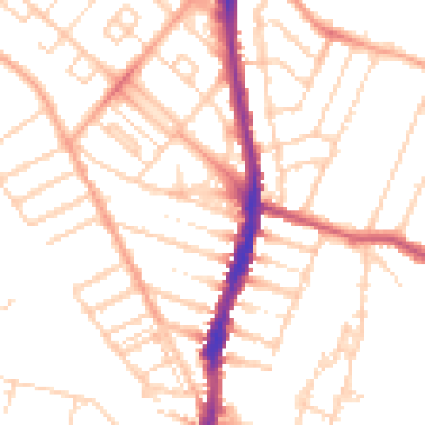
Daytime· 07:00 – 23:00
50.9dB

Night-time· 23:00 – 07:00
40.4dB