19 Cherry Hills, Watford, WD19 6DH
About 19 Cherry Hills
19 Cherry Hills is a property in Watford (WD19 6DH). It has council tax band D.
It hasn't traded since February 1998, a hold of 28 years that's notably long for the area. Only one transfer is on record with HM Land Registry, suggesting it has stayed in the same hands for a long time. 2 planning records sit against the property, 1 approved, 0 refused, 1 pending. Past consents include an extension, meaningful when judging how the property has evolved. An application is currently awaiting a decision.
Everything you need to know about 19 Cherry Hills
The true value, the hidden risks and the full sale history, in one report.
30-day money-back guarantee

The data behind every report


Energy performance
No EPC on record
This property doesn't have an Energy Performance Certificate yet. An EPC is required to sell or let — and unlocks our automated valuation.
Planning history
19 Cherry Hills has an approved single-storey rear extension on the planning record.
- Jan 2021OutbuildingAmendmentIn report
Retrospective: Construction of outbuilding in rear garden
Retrospective- Documents
- 7 docs on file
- Reference
- 21/0117/RSP
- May 2018ExtensionFullIn report
Extension: Single storey · Rear of property
Erection of single storey rear extension
- Documents
- 10 docs on file
- Reference
- 18/0590/FUL
We flagged 1 thing worth checking at 19 Cherry Hills
Independent checks surfaced things a buyer would want to understand before offering. The report explains each one in full, with the underlying data and what to ask.
- Larger development activity nearby
30-day money-back guarantee
Sales history & valuation
19 Cherry Hills has been held in the same hands since before 2000.
£95,950
Recorded with HM Land Registry.
Sales timeline
20 February 1998Most recent
£95,950
Median price across the last 5 sales in WD19 6DH: £455,500 (2025–2019).
Everything you need to know about 19 Cherry Hills
The true value, the hidden risks and the full sale history, in one report.
30-day money-back guarantee
The data behind every report
Similar properties nearby
1 Abraham Close, Muirfield Road
WD19 6HH
1 Anglesey Road
WD19 6TY
1 Arran Green, Prestwick Road
WD19 6XG
1 Ashford Green
WD19 6YG
1 Ashridge Drive
WD19 6TQ
1 Ballater Close
WD19 6HX
1 Barnhurst Path
WD19 6TX
1 Becks Mason House, Prestwick Road
WD19 6RU
The neighbourhood at a glance
Rail-style transport is unusually close for this postcode.
Crime
4/mo
Steady year-on-year across the wider district.
Nearest stop
0.2 km
Lytham Avenue — bus stop.
Closest school
0.2 km
Woodhall Primary School. 22 schools nearby.
Go deeper on the local area
The full report breaks down crime, transport links, schools and air quality in depth.
Road noise across the postcode
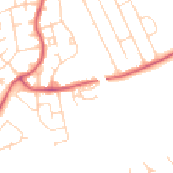
Daytime· 07:00 – 23:00
47.2dB

Night-time· 23:00 – 07:00
38.7dB