87 Lower Paddock Road, Watford, WD19 4GU
About 87 Lower Paddock Road
87 Lower Paddock Road is a semi-detached house in Watford (WD19 4GU). It has a recorded floor area of 95 m² (around 1023 sq ft), construction records dating it to 1967-1975 and council tax band E. The latest certificate (September 2024) shows a D (score 60), on the cusp of jumping into the C band. The recommended improvements would lift it to B (score 85), a 2-band jump.
At 95 m² the property is well over the postcode median (62 m² across 22 EPCs), placing it in the larger end of the local stock.
Everything you need to know about 87 Lower Paddock Road
The true value, the hidden risks and the full sale history, in one report.
30-day money-back guarantee

The data behind every report


Energy performance
Recommended upgrades on file would lift this property by multiple EPC bands.
EPC Rating
Planning history
87 Lower Paddock Road has no planning applications on record.
Notable planning nearby
4applications of note in the surrounding area
We flagged 1 thing worth checking at 87 Lower Paddock Road
Independent checks surfaced things a buyer would want to understand before offering. The report explains each one in full, with the underlying data and what to ask.
- Larger development activity nearby
30-day money-back guarantee
Sales history & valuation
87 Lower Paddock Road has no Land Registry sales on file, suggesting it has stayed in the same hands since registration began.
£559,000
Modelled from EPC, postcode comparables.
No sales recorded with HM Land Registry
That can mean the property has never traded since the registry began publishing in 1995, was a new build that hasn't been registered yet, or is held in the same hands long-term.
Median price across the last 5 sales in WD19 4GU: £360,000 (2025–2020).
Nearby sales in WD19 4GU
145 Lower Paddock Road, Watford, WD19 4GU
Sold Mar 2025
£785,000127 Lower Paddock Road, Watford, WD19 4GU
Sold May 2024
£450,000111 Lower Paddock Road, Watford, WD19 4GU
Sold Jan 2022
£360,00065 Lower Paddock Road, Watford, WD19 4GU
Sold Sept 2020
£353,000105 Lower Paddock Road, Watford, WD19 4GU
Sold Jan 2020
£355,000
Versus other Lower Paddock Road homes
Floor Area for 87 Lower Paddock Road runs comfortably ahead of the street norm.
EPC Rating
60 (D)
Street avg 59 (D)
Floor Area
95 m²
Street avg 70 m²
CO₂ Emissions
4.6 t/year
Street avg 3.8 t/year
Habitable Rooms
4 rooms
Street avg 4 rooms
Everything you need to know about 87 Lower Paddock Road
The true value, the hidden risks and the full sale history, in one report.
30-day money-back guarantee
The data behind every report
Similar properties nearby
The neighbourhood at a glance
Rail-style transport is unusually close for this postcode.
Crime
4/mo
Steady year-on-year across the wider district.
Nearest stop
0.3 km
Oxhey Avenue — bus stop.
Closest school
0.4 km
Bushey and Oxhey Infant School. 33 schools nearby.
Go deeper on the local area
The full report breaks down crime, transport links, schools and air quality in depth.
Road noise across the postcode
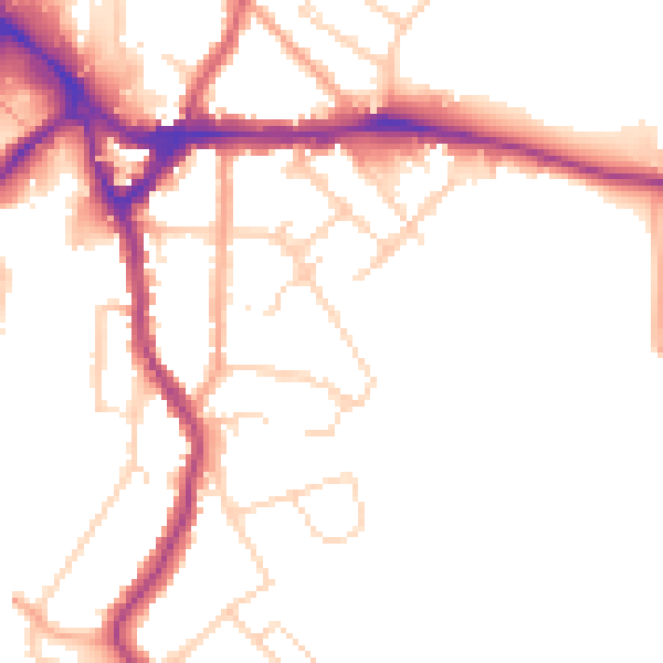
Daytime· 07:00 – 23:00
49.4dB

Night-time· 23:00 – 07:00
41.3dB