2 Lower Paddock Road, Watford, WD19 4DS
About 2 Lower Paddock Road
2 Lower Paddock Road is a semi-detached house in Watford (WD19 4DS). It has a recorded floor area of 97 m² (around 1044 sq ft), construction records dating it to 1900-1929 and council tax band F. The latest certificate (October 2025) shows a D (score 65), on the cusp of jumping into the C band. When first surveyed in October 2010 the rating was E, the property has climbed 1 band since. Between certificates, lighting went from Average to Good. The recommended improvements would push it to C (score 78).
At 97 m² it's 17.8% smaller than the typical home in the postcode (118 m² median across 10 EPCs).
Everything you need to know about 2 Lower Paddock Road
The true value, the hidden risks and the full sale history, in one report.
30-day money-back guarantee

The data behind every report


Energy performance
EPC Rating
Property Improvements
Changes detected from historical EPC data
More low energy lighting installed
Planning history
2 Lower Paddock Road has no planning applications on record.
Notable planning nearby
4applications of note in the surrounding area
We flagged 1 thing worth checking at 2 Lower Paddock Road
Independent checks surfaced things a buyer would want to understand before offering. The report explains each one in full, with the underlying data and what to ask.
- Larger development activity nearby
30-day money-back guarantee
Sales history & valuation
2 Lower Paddock Road has no Land Registry sales on file, suggesting it has stayed in the same hands since registration began.
£695,000
Modelled from EPC, postcode comparables.
No sales recorded with HM Land Registry
That can mean the property has never traded since the registry began publishing in 1995, was a new build that hasn't been registered yet, or is held in the same hands long-term.
Median price across the last 5 sales in WD19 4DS: £520,000 (2022–2021).
Nearby sales in WD19 4DS
4 Lower Paddock Road, Watford, WD19 4DS
Sold Sept 2022
£630,0006 Lower Paddock Road, Watford, WD19 4DS
Sold Aug 2022
£522,50020 Lower Paddock Road, Watford, WD19 4DS
Sold Jun 2021
£465,00026 Lower Paddock Road, Watford, WD19 4DS
Sold Nov 2019
£500,0002a, Lower Paddock Road, Watford, WD19 4DS
Sold Feb 2011
£336,000
Versus other Lower Paddock Road homes
EPC Rating
65 (D)
Street avg 69 (D)
Floor Area
97 m²
Street avg 111 m²
CO₂ Emissions
3.8 t/year
Street avg 3.8 t/year
Habitable Rooms
5 rooms
Street avg 5 rooms
Everything you need to know about 2 Lower Paddock Road
The true value, the hidden risks and the full sale history, in one report.
30-day money-back guarantee
The data behind every report
Similar properties nearby
The neighbourhood at a glance
Rail-style transport is unusually close for this postcode.
Crime
4/mo
Steady year-on-year across the wider district.
Nearest stop
0.2 km
Grange Road — bus stop.
Closest school
0.2 km
Bushey and Oxhey Infant School. 34 schools nearby.
Go deeper on the local area
The full report breaks down crime, transport links, schools and air quality in depth.
Road noise across the postcode
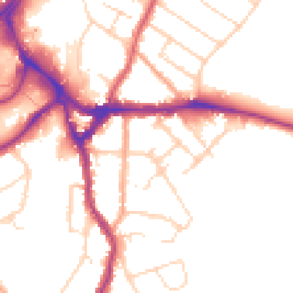
Daytime· 07:00 – 23:00
51.0dB

Night-time· 23:00 – 07:00
42.4dB