6 Lower Paddock Road, Watford, WD19 4DS
About 6 Lower Paddock Road
6 Lower Paddock Road is a detached house in Watford (WD19 4DS). It has a recorded floor area of 115 m² (around 1238 sq ft), construction records dating it to before 1900 and council tax band E. The latest certificate (July 2016) shows an E (score 46), well below the UK norm with real room to improve. The recommended improvements would lift it to C (score 76), a 2-band jump.
8 planning records sit against the property, 2 approved, 2 refused, 1 pending. Past consents include tree works, meaningful when judging how the property has evolved. An application is currently awaiting a decision. It lags the bulk of the postcode on energy efficiency (less efficient than 80% of similar EPCs). Across 2018–2022, sale prices on this property compounded at -11% per year. Today's modelled estimate of £646,000 is 23.6% above the 2022 sale price. On a £-per-square-foot basis, the last sale (£422/sq ft) was about 17.5% above the typical sold price in the postcode. Last sale on file: £522,500 in August 2022. That sale was during the post-pandemic price surge, when transactions cleared materially above pre-2020 trend.
Everything you need to know about 6 Lower Paddock Road
The true value, the hidden risks and the full sale history, in one report.
30-day money-back guarantee

The data behind every report


Energy performance
6 Lower Paddock Road's carbon output runs well above what efficient homes in the postcode produce.
EPC Rating
Planning history
- Nov 2020ConditionsIn report
Details submitted for Condition 6 (Tree Protection Measures - Trees 1, 6, 7, 8 and 9) pursuant to planning permission 17/01686/FUL.
- Documents
- 5 docs on file
- Reference
- 20/00879/DISCON
- Oct 2020ConditionsIn report
Details submitted for Condition 5 (external materials) pursuant to planning permission 17/01686/FUL
- Documents
- 3 docs on file
- Reference
- 20/00935/DISCON
We flagged 2 things worth checking at 6 Lower Paddock Road
Independent checks surfaced things a buyer would want to understand before offering. The report explains each one in full, with the underlying data and what to ask.
- Larger development activity nearby
- Recent ownership pattern worth a look
30-day money-back guarantee
Sales history & valuation
6 Lower Paddock Road changed hands twice within eighteen months — unusual for the area.
£646,000
Modelled from EPC, postcode comparables and a sale-price growth of -11.0% per year over 4 years.
£522,500
Growth on file: -11.0% per year over 4 years.
Sales timeline
25 August 2022Most recent
£522,500
+24.4%25 February 2022
£420,000
-50.6%over 3 years17 June 2018
£850,000
Median price across the last 5 sales in WD19 4DS: £520,000 (2022–2018).
Nearby sales in WD19 4DS
4 Lower Paddock Road, Watford, WD19 4DS
Sold Sept 2022
£630,00020 Lower Paddock Road, Watford, WD19 4DS
Sold Jun 2021
£465,00026 Lower Paddock Road, Watford, WD19 4DS
Sold Nov 2019
£500,0002a, Lower Paddock Road, Watford, WD19 4DS
Sold Feb 2011
£336,0002b, Lower Paddock Road, Watford, WD19 4DS
Sold May 2008
£303,850
Versus other Lower Paddock Road homes
6 Lower Paddock Road is notably below the street on co₂ emissions.
Price per m²
£4,543
Street avg £4,824
Floor Area
115 m²
Street avg 109 m²
Habitable Rooms
6 rooms
Street avg 5 rooms
CO₂ Emissions
7.6 t/year
Street avg 3.5 t/year
Everything you need to know about 6 Lower Paddock Road
The true value, the hidden risks and the full sale history, in one report.
30-day money-back guarantee
The data behind every report
Similar properties nearby
The neighbourhood at a glance
Rail-style transport is unusually close for this postcode.
Crime
4/mo
Steady year-on-year across the wider district.
Nearest stop
0.2 km
Grange Road — bus stop.
Closest school
0.2 km
Bushey and Oxhey Infant School. 34 schools nearby.
Go deeper on the local area
The full report breaks down crime, transport links, schools and air quality in depth.
Road noise across the postcode
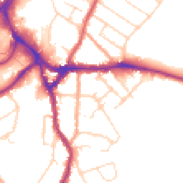
Daytime· 07:00 – 23:00
51.0dB

Night-time· 23:00 – 07:00
42.4dB