10 Brookside Road, Watford, WD19 4BP
About 10 Brookside Road
10 Brookside Road is a three-bedroom detached house in Watford (WD19 4BP). It has a recorded floor area of 116 m² (around 1249 sq ft), construction records dating it to 1996-2002 and council tax band E. The property has solar panels on record, all of which lower running costs and tend to lift resale appeal. Other recorded features include a loft. Our model identifies extension potential, subject to local planning policy. The latest certificate (April 2019) shows a C (score 73). The recommended improvements would push it to B (score 82).
At 116 m² the property is well over the postcode median (80 m² across 7 EPCs), placing it in the larger end of the local stock. One planning record on file: an extension approved in 2021. Past consents include an extension and a garage conversion, meaningful when judging how the property has evolved. Across 1999–2021, sale prices on this property compounded at 6% per year. Today's modelled estimate of £649,000 is 13.9% above the 2021 sale price. On a £-per-square-foot basis, the last sale (£457/sq ft) was about 21.2% above the typical sold price in the postcode. Most recent transfer: June 2021 at £570,000. That sale was during the post-pandemic price surge, when transactions cleared materially above pre-2020 trend.
What this property has
Inside
- Bedrooms3
- Bathrooms2
- Dining roomYes
- LoftYes
Outside
- ParkingOff street
Building
- Solar panelsYes
- Extension potentialPossible
Everything you need to know about 10 Brookside Road
The true value, the hidden risks and the full sale history, in one report.
30-day money-back guarantee

The data behind every report


Energy performance
EPC Rating
Planning history
- Aug 2021Garage ConversionOutlineIn report
Extension: Rear of property
Certificate of Lawfulness Proposed Development: Conversion of garage into habitable accommodation and single-storey rear extension
Extension- Documents
- 10 docs on file
- Reference
- 21/1690/CLPD
We flagged 1 thing worth checking at 10 Brookside Road
Independent checks surfaced things a buyer would want to understand before offering. The report explains each one in full, with the underlying data and what to ask.
- Larger development activity nearby
30-day money-back guarantee
Sales history & valuation
Latest sale on 10 Brookside Road was the highest on Land Registry record across the postcode.
£649,000
Modelled from EPC, postcode comparables and a sale-price growth of 6.0% per year over 22 years.
£570,000
Growth on file: 6.0% per year over 22 years.
Sales timeline
29 June 2021Most recent
£570,000
+260.8%over 22 years26 May 1999
£158,000
Median price across the last 5 sales in WD19 4BP: £148,950 (2021–1999).
Nearby sales in WD19 4BP
Versus other Brookside Road homes
Habitable Rooms for 10 Brookside Road runs comfortably ahead of the street norm.
EPC Rating
73 (C)
Street avg 72 (C)
Floor Area
116 m²
Street avg 79 m²
CO₂ Emissions
3.4 t/year
Street avg 2.5 t/year
Habitable Rooms
7 rooms
Street avg 4 rooms
Everything you need to know about 10 Brookside Road
The true value, the hidden risks and the full sale history, in one report.
30-day money-back guarantee
The data behind every report
Similar properties nearby
1 Brookmill Close
WD19 4BB
1 Cedar Road
WD19 4QP
1 Brookdene Avenue
WD19 4LG
1 Brookside Road
WD19 4BW
1 Blackwell Drive
WD19 4HP
1 Elm Avenue
WD19 4BD
1 Eley Place
WD19 4FQ
1 Caroline Place, Capel Road
WD19 4AF
The neighbourhood at a glance
Daytime road noise here sits well below conversation level — a quiet pocket of the postcode.
Crime
4/mo
Steady year-on-year across the wider district.
Nearest stop
0.1 km
Thorpe Crescent — bus stop.
Closest school
0.8 km
Laurance Haines School. 32 schools nearby.
Go deeper on the local area
The full report breaks down crime, transport links, schools and air quality in depth.
Road noise across the postcode
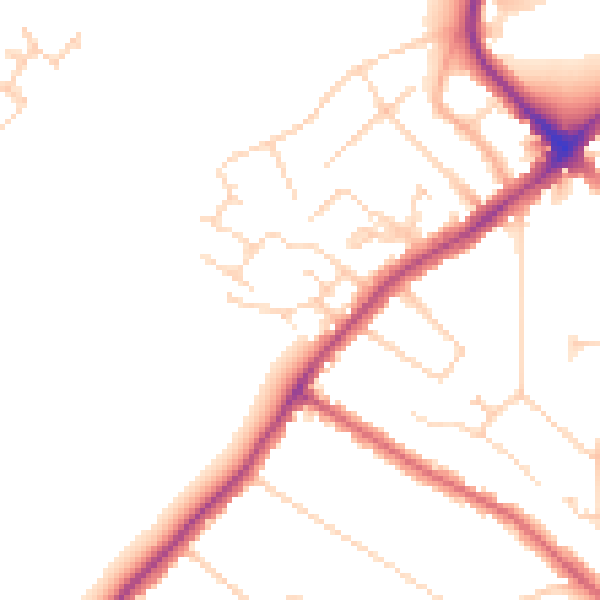
Daytime· 07:00 – 23:00
48.4dB

Night-time· 23:00 – 07:00
40.0dB