105a, Liverpool Road, Watford, WD18 0DW
About 105a
105a is an end-of-terrace house in Watford (WD18 0DW). It has a recorded floor area of 49 m² (around 527 sq ft), construction records dating it to 1900-1929 and council tax band C. The latest certificate (April 2023) shows a D (score 64), on the cusp of jumping into the C band. The rating has held steady at D across 2 certificates since April 2013. Between certificates, lighting went from Average to Very Good; while roof efficiency dropped from Good to Average. The recommended improvements would lift it to B (score 89), a 2-band jump.
At 49 m² it sits well below the postcode median (71 m² across 37 EPCs), making it one of the more compact homes locally. Across 1995–2023, sale prices on this property compounded at 6.2% per year. Today's modelled estimate of £303,000 is 26.2% above the 2023 sale price. On a £-per-square-foot basis, the last sale (£455/sq ft) was about 87.2% above the typical sold price in the postcode. Last sale on file: £240,000 in May 2023.
Know exactly what you're buying at 105a
Before you offer, see what the listing won't tell you, the true value, the red flags and the full history.
Already flagged here
Valuation
against the asking price
Risks
planning & flood
Sold prices
similar homes nearby
Trends
the local market
Energy performance
Recommended upgrades on file would lift this property by multiple EPC bands.
EPC Rating
Property Improvements
Changes detected from historical EPC data
More low energy lighting installed
Planning history
105a has no planning applications on record.
Notable planning nearby
7applications of note in the surrounding area
We flagged 1 thing worth checking at 105a
Independent checks surfaced things a buyer would want to understand before offering. The report explains each one in full, with the underlying data and what to ask.
- Signs of HMO activity in the area
30-day money-back guarantee
Sales history & valuation
105a has more than quadrupled in price since its earliest registered sale in 1995.
£303,000
Modelled from EPC, postcode comparables and a sale-price growth of 6.2% per year over 27 years.
£240,000
Growth on file: 6.2% per year over 27 years.
Sales timeline
10 May 2023Most recent
£240,000
-20.0%over 10 months29 June 2022
£300,000
+35.1%over 7 years10 July 2014
£222,000
+38.8%over 6 years30 August 2007
£160,000
+166.9%over 9 years6 August 1998
£59,950
+30.5%over 2 years17 November 1995
£45,950
Median price across the last 5 sales in WD18 0DW: £350,000 (2025–2023).
Nearby sales in WD18 0DW
Everything we know about 105a, in one report
What it's really worth, what could be wrong, and the planning, sales and area data in full.
What we flagged
- Signs of HMO activity in the area

Versus other Liverpool Road homes
105a is notably below the street on floor area.
Price per m²
£4,898
Street avg £4,076
Floor Area
49 m²
Street avg 75 m²
Habitable Rooms
3 rooms
Street avg 4 rooms
CO₂ Emissions
2.6 t/year
Street avg 3.8 t/year
Similar properties nearby
1 Bridgeford House, Cassio Road
WD18 0QR
1 Crakers Mead, Rosslyn Road
WD18 0JZ
1 Benskin Road
WD18 0HN
1 Farthing Close
WD18 0BT
1 Clark Mews
WD18 0HG
1 Christie Court
WD18 0LA
1 Beaumont Place, Brightwell Road
WD18 0AJ
1 Ballinger Court, Halsey Road
WD18 0JR
The neighbourhood at a glance
Rail-style transport is unusually close for this postcode.
Crime
8/mo
Steady year-on-year across the wider district.
Nearest stop
0.3 km
The Hornets — bus stop.
Closest school
0.3 km
Field Junior School. 36 schools nearby.
Go deeper on the local area
The full report breaks down crime, transport links, schools and air quality in depth.
Road noise across the postcode
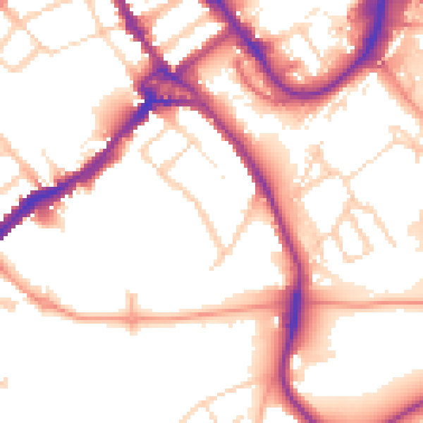
Daytime· 07:00 – 23:00
53.4dB

Night-time· 23:00 – 07:00
44.1dB