11 Hampden Way, Watford, WD17 4SS
About 11 Hampden Way
11 Hampden Way is a three-bedroom detached house in Watford (WD17 4SS). It has a recorded floor area of 218 m² (around 2347 sq ft), construction records dating it to 1950-1966 and council tax band E. The latest certificate (March 2026) shows a C (score 71). When first surveyed in February 2009 the rating was D, the property has climbed 1 band since. Between certificates, lighting went from Poor to Good; while wall efficiency dropped from Average to Poor. This certificate was lodged in the last six months, so the rating reflects current condition.
It hasn't traded since October 2009, a hold of 17 years that's notably long for the area. That sale fell during the post-crash dip, which often skews comparisons against later neighbouring sales. At 218 m² the property is well over the postcode median (145 m² across 16 EPCs), placing it in the larger end of the local stock. Across 2007–2009, sale prices on this property compounded at -4.8% per year. Today's modelled estimate of £660,000 sits 57.9% above the 2009 sale of £418,000. On a £-per-square-foot basis, the last sale (£178/sq ft) was about 43.2% below the postcode norm. 6 planning records sit against the property, 1 approved, 2 refused.
What this property has
Inside
- Bedrooms3
- Dining roomYes
- Utility roomYes
- CloakroomYes
Outside
- Private gardenYes
- GarageYes
Building
- RefurbishedYes
Everything you need to know about 11 Hampden Way
The true value, the hidden risks and the full sale history, in one report.
30-day money-back guarantee

The data behind every report


Energy performance
11 Hampden Way's carbon output runs well above what efficient homes in the postcode produce.
EPC Rating
Property Improvements
Changes detected from historical EPC data
Roof insulation improved
More low energy lighting installed
Planning history
Planning history includes recorded demolition works, indicating a major rebuild phase at this address.
- Oct 2015RenovationFullIn report
Retain air-conditioning unit fixed to flank wall.
Retrospective- Documents
- 13 docs on file
- Reference
- 15/01140/FULH
- Jun 2015RenovationFullIn report
Retain air-conditioning unit fixed to flank wall.
Retrospective- Documents
- 12 docs on file
- Reference
- 15/00579/FULH
What's in 11 Hampden Way, Watford, WD17 4SS's planning history?
4 more on this property, plus refusals, disputes and full decisions nearby, in the report.
Sales history & valuation
The latest sale fell during the post-2008 dip, often a low-water mark in price comparisons.
£660,000
Modelled from EPC, postcode comparables and a sale-price growth of -4.8% per year over 2 years.
£418,000
Growth on file: -4.8% per year over 2 years.
Sales timeline
26 October 2009Most recent
£418,000
-10.1%over 2 years19 August 2007
£465,000
Median price across the last 5 sales in WD17 4SS: £1,000,000 (2024–2022).
Nearby sales in WD17 4SS
Versus other Hampden Way homes
On price per m², 11 Hampden Way runs well behind the street norm.
Price per m²
£1,917
Street avg £4,628
Floor Area
218 m²
Street avg 155 m²
Habitable Rooms
7 rooms
Street avg 7 rooms
CO₂ Emissions
6.1 t/year
Street avg 4.8 t/year
Everything you need to know about 11 Hampden Way
The true value, the hidden risks and the full sale history, in one report.
30-day money-back guarantee
The data behind every report
Similar properties nearby
The neighbourhood at a glance
Crime
10/mo
Steady year-on-year across the wider district.
Nearest stop
0.3 km
Hollytree House — bus stop.
Closest school
0.3 km
Holy Rood Catholic Primary School. 22 schools nearby.
Go deeper on the local area
The full report breaks down crime, transport links, schools and air quality in depth.
Road noise across the postcode
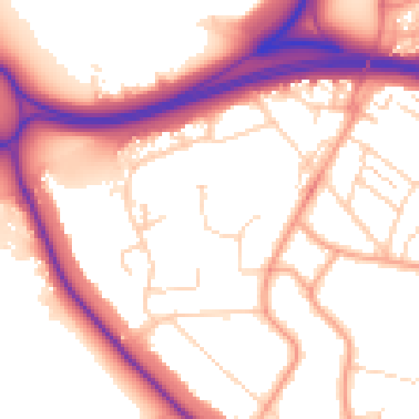
Daytime· 07:00 – 23:00
55.0dB

Night-time· 23:00 – 07:00
46.2dB