19a, Essex Road, Watford, WD17 4EL
About 19a
19a is a semi-detached house in Watford (WD17 4EL). It has a recorded floor area of 65 m² (around 700 sq ft), construction records dating it to 1900-1929 and council tax band B. The latest certificate (May 2020) shows a D (score 68), on the cusp of jumping into the C band. The rating has held steady at D across 3 certificates since May 2010. Between certificates, window efficiency went from Average to Good and lighting went from Very Poor to Very Good. The recommended improvements would push it to C (score 73).
Across 2011–2012, sale prices on this property compounded at 56% per year. Today's modelled estimate of £277,000 sits 62.9% above the 2012 sale of £170,000. At 65 m² it sits well below the postcode median (108 m² across 19 EPCs), making it one of the more compact homes locally. 14 years since the last transfer (April 2012).
Everything you need to know about 19a
The true value, the hidden risks and the full sale history, in one report.
30-day money-back guarantee

The data behind every report


Energy performance
EPC Rating
Property Improvements
Changes detected from historical EPC data
Heating controls upgraded for better temperature management
Window efficiency improved
Wall insulation improved
More low energy lighting installed
Heating controls changed
More low energy lighting installed
Planning history
19a has no planning applications on record.
Notable planning nearby
3applications of note in the surrounding area
We flagged 1 thing worth checking at 19a
Independent checks surfaced things a buyer would want to understand before offering. The report explains each one in full, with the underlying data and what to ask.
- Recent ownership pattern worth a look
30-day money-back guarantee
Sales history & valuation
19a changed hands twice within eighteen months — unusual for the area.
£277,000
Modelled from EPC, postcode comparables and a sale-price growth of 56.0% per year over 1 year.
£170,000
Growth on file: 56.0% per year over 1 year.
Sales timeline
3 April 2012Most recent
£170,000
+56.0%10 November 2011
£109,000
Median price across the last 5 sales in WD17 4EL: £310,000 (2024–2020).
Nearby sales in WD17 4EL
Versus other Essex Road homes
Price per m²
£2,615
Street avg £3,464
Floor Area
65 m²
Street avg 62 m²
Habitable Rooms
2 rooms
Street avg 2 rooms
CO₂ Emissions
2.7 t/year
Street avg 2.9 t/year
Everything you need to know about 19a
The true value, the hidden risks and the full sale history, in one report.
30-day money-back guarantee
The data behind every report
Similar properties nearby
1 Biskra, Langley Road
WD17 4PF
1 Boyce Court, Lockhart Road
WD17 4AS
1 Dagwood Court, Lockhart Road
WD17 4AW
1 Fairlawns, Langley Road
WD17 4UH
1 Arden Court, Lockhart Road
WD17 4AQ
1 Elton Park
WD17 4NW
1 Bromet Close
WD17 4LP
1 Burrow Close
WD17 4DS
The neighbourhood at a glance
Rail-style transport is unusually close for this postcode.
Crime
10/mo
Steady year-on-year across the wider district.
Nearest stop
0.1 km
Town Hall — bus stop.
Closest school
0.3 km
Lanchester Primary School. 38 schools nearby.
Go deeper on the local area
The full report breaks down crime, transport links, schools and air quality in depth.
Road noise across the postcode
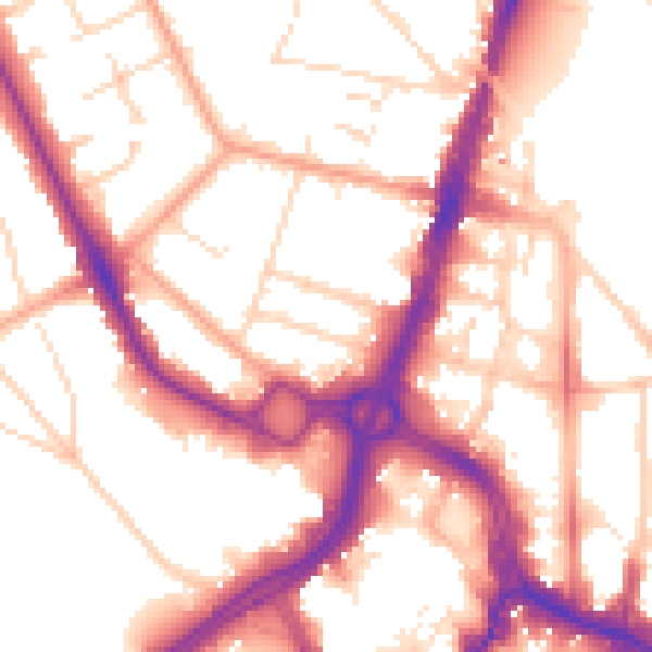
Daytime· 07:00 – 23:00
54.4dB

Night-time· 23:00 – 07:00
45.0dB