2 Baldwin Road, Watford, WD17 4DP
About 2 Baldwin Road
2 Baldwin Road is a four-bedroom semi-detached house in Watford (WD17 4DP). It has a recorded floor area of 167 m² (around 1798 sq ft), construction records dating it to 2012 onwards and council tax band G. The latest certificate (January 2022) shows a C (score 79), near the top of the C band. Earlier certificates rated it B (September 2011); the latest reading is one band lower. Between certificates, lighting went from Average to Very Good; while roof efficiency dropped from Very Good to Good and window efficiency dropped from Very Good to Good. The recommended improvements would push it to B (score 86).
Across 2013–2022, sale prices on this property compounded at 4.2% per year. On a £-per-square-foot basis, the last sale (£467/sq ft) was about 16.2% above the typical sold price in the postcode. Most recent transfer: March 2022 at £840,000. That sale was during the post-pandemic price surge, when transactions cleared materially above pre-2020 trend.
What this property has
Inside
- Bedrooms4
- Bathrooms3
- EnsuiteYes
Outside
- GarageYes
Building
- RefurbishedYes
Everything you need to know about 2 Baldwin Road
The true value, the hidden risks and the full sale history, in one report.
30-day money-back guarantee

The data behind every report


Energy performance
EPC Rating
Property Improvements
Changes detected from historical EPC data
Heating controls changed
More low energy lighting installed
Planning history
2 Baldwin Road has no planning applications on record.
Notable planning nearby
3applications of note in the surrounding area
Sales history & valuation
Latest sale on 2 Baldwin Road was the highest on Land Registry record across the postcode.
£834,000
Modelled from EPC, postcode comparables and a sale-price growth of 4.2% per year over 9 years.
£840,000
Growth on file: 4.2% per year over 9 years.
Sales timeline
4 March 2022Most recent
£840,000
+41.9%over 8 years22 August 2013
£592,000
Median price across the last 5 sales in WD17 4DP: £755,000 (2025–2013).
Versus other Baldwin Road homes
On years held, 2 Baldwin Road runs well behind the street norm.
Price per m²
£5,030
Street avg £4,606
Floor Area
167 m²
Street avg 138 m²
Habitable Rooms
5 rooms
Street avg 6 rooms
CO₂ Emissions
3.3 t/year
Street avg 3.2 t/year
Everything you need to know about 2 Baldwin Road
The true value, the hidden risks and the full sale history, in one report.
30-day money-back guarantee
The data behind every report
Similar properties nearby
The neighbourhood at a glance
Daytime road noise here sits well below conversation level — a quiet pocket of the postcode.
Crime
10/mo
Steady year-on-year across the wider district.
Nearest stop
0.2 km
Molteno Road — bus stop.
Closest school
0.1 km
Nascot Wood Infant and Nursery School. 33 schools nearby.
Go deeper on the local area
The full report breaks down crime, transport links, schools and air quality in depth.
Road noise across the postcode
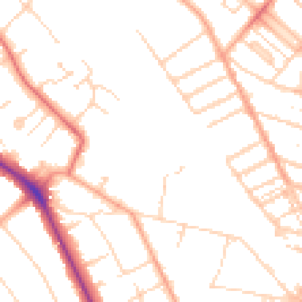
Daytime· 07:00 – 23:00
49.1dB

Night-time· 23:00 – 07:00
39.4dB