8 Beechpark Way, Watford, WD17 3TY
About 8 Beechpark Way
8 Beechpark Way is a mid-terrace house in Watford (WD17 3TY). It has a recorded floor area of 125 m² (around 1345 sq ft), construction records dating it to 1950-1966 and council tax band F. The latest certificate (June 2019) shows a C (score 72). The recommended improvements would push it to B (score 84).
Held since October 1998 — that's 28 years off the open market, well above the local norm. One planning application is currently pending a decision in 2021. Across 1997–1998, sale prices on this property compounded at 24.3% per year. Today's modelled estimate of £729,000 sits 294.1% above the 1998 sale of £185,000. On a £-per-square-foot basis, the last sale (£137/sq ft) was about 66.4% below the postcode norm. Its energy rating outperforms most of the postcode (better than 71% of similar EPCs).
Everything you need to know about 8 Beechpark Way
The true value, the hidden risks and the full sale history, in one report.
30-day money-back guarantee

The data behind every report


Energy performance
EPC Rating
Planning history
- May 2021PorchFullIn report
Erection of new entrance porch providing disabled access. Widen existing crossover to provide vehicular access and off street parking on driveway.
Extension- Documents
- 7 docs on file
- Reference
- 21/00771/FULH
We flagged 2 things worth checking at 8 Beechpark Way
Independent checks surfaced things a buyer would want to understand before offering. The report explains each one in full, with the underlying data and what to ask.
- Larger development activity nearby
- Recent ownership pattern worth a look
30-day money-back guarantee
Sales history & valuation
8 Beechpark Way's modelled value sits at over four times its earliest registered sale price (1997).
£729,000
Modelled from EPC, postcode comparables and a sale-price growth of 24.3% per year over 1 year.
£185,000
Growth on file: 24.3% per year over 1 year.
Sales timeline
22 October 1998Most recent
£185,000
+38.4%over 1 year24 April 1997
£133,700
Median price across the last 5 sales in WD17 3TY: £720,000 (2024–2023).
Nearby sales in WD17 3TY
Versus other Beechpark Way homes
8 Beechpark Way outperforms the street on years held by a wide margin.
Price per m²
£1,480
Street avg £4,862
Floor Area
125 m²
Street avg 141 m²
Habitable Rooms
5 rooms
Street avg 7 rooms
CO₂ Emissions
3.8 t/year
Street avg 5.7 t/year
Everything you need to know about 8 Beechpark Way
The true value, the hidden risks and the full sale history, in one report.
30-day money-back guarantee
The data behind every report
Similar properties nearby
The neighbourhood at a glance
Daytime road noise here sits well below conversation level — a quiet pocket of the postcode.
Crime
10/mo
Steady year-on-year across the wider district.
Nearest stop
0.1 km
Grove Mill Lane — bus stop.
Closest school
0.7 km
Holy Rood Catholic Primary School. 28 schools nearby.
Go deeper on the local area
The full report breaks down crime, transport links, schools and air quality in depth.
Road noise across the postcode
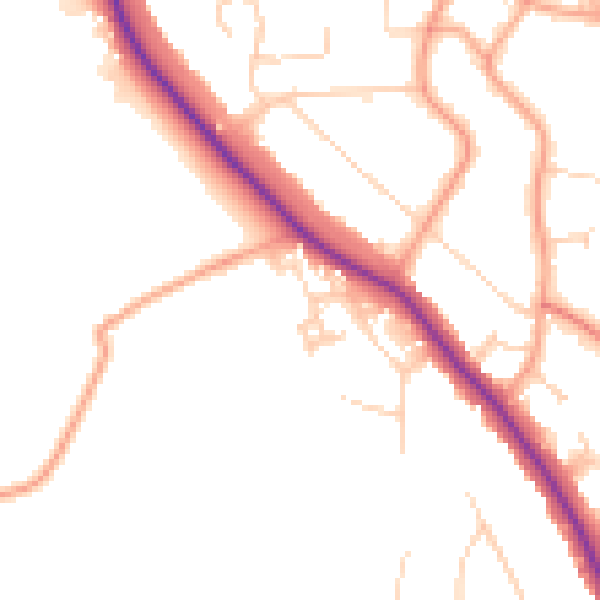
Daytime· 07:00 – 23:00
49.8dB

Night-time· 23:00 – 07:00
41.5dB