14 Albert Road South, Watford, WD17 1QG
About 14 Albert Road South
14 Albert Road South is a semi-detached house in Watford (WD17 1QG). It has a recorded floor area of 69 m² (around 743 sq ft), construction records dating it to 1900-1929 and council tax band C. At 69 m² this is the 6th smallest of 8 units on EPC record in the building, where floor areas span 47–76 m². The building's EPC ratings span D to C, with this unit at the top. The latest certificate (July 2025) shows a C (score 69), just inside the C band. When first surveyed in October 2010 the rating was D, the property has climbed 1 band since. Between certificates, wall efficiency went from Very Poor to Very Good and lighting went from Average to Good.
At 69 m² the property is well over the postcode median (52 m² across 7 EPCs), placing it in the larger end of the local stock.
Everything you need to know about 14 Albert Road South
The true value, the hidden risks and the full sale history, in one report.
30-day money-back guarantee

The data behind every report


Energy performance
EPC Rating
Property Improvements
Changes detected from historical EPC data
More low energy lighting installed
Wall insulation improved
Planning history
14 Albert Road South has no planning applications on record.
Notable planning nearby
7applications of note in the surrounding area
We flagged 2 things worth checking at 14 Albert Road South
Independent checks surfaced things a buyer would want to understand before offering. The report explains each one in full, with the underlying data and what to ask.
- Signs of HMO activity in the area
- Larger development activity nearby
30-day money-back guarantee
Sales history & valuation
14 Albert Road South has no Land Registry sales on file, suggesting it has stayed in the same hands since registration began.
£274,000
Modelled from EPC, postcode comparables.
No sales recorded with HM Land Registry
That can mean the property has never traded since the registry began publishing in 1995, was a new build that hasn't been registered yet, or is held in the same hands long-term.
Median price across the last 5 sales in WD17 1QG: £166,000 (2025–2000).
Versus other Albert Road South homes
EPC Rating for 14 Albert Road South lags the street by a wide margin.
EPC Rating
69 (C)
Street avg 72 (C)
Floor Area
69 m²
Street avg 58 m²
CO₂ Emissions
2.1 t/year
Street avg 1.8 t/year
Habitable Rooms
4 rooms
Street avg 4 rooms
Everything you need to know about 14 Albert Road South
The true value, the hidden risks and the full sale history, in one report.
30-day money-back guarantee
The data behind every report
Similar properties nearby
109a, St Albans Road
WD17 1RD
103 105, Flat 2, St Albans Road
WD17 1RD
1 Terrace Gardens
WD17 1RB
10 St Johns Road
WD17 1PT
103 105, Flat 1, St Albans Road
WD17 1RD
103 105, Flat 4, St Albans Road
WD17 1RD
10 Wellington Road
WD17 1QU
109c, St Albans Road
WD17 1RD
The neighbourhood at a glance
Rail-style transport is unusually close for this postcode.
Crime
10/mo
Steady year-on-year across the wider district.
Nearest stop
0.1 km
Beechen Grove North — bus stop.
Closest school
0.3 km
Watford St John's Church of England Primary School. 35 schools nearby.
Go deeper on the local area
The full report breaks down crime, transport links, schools and air quality in depth.
Road noise across the postcode
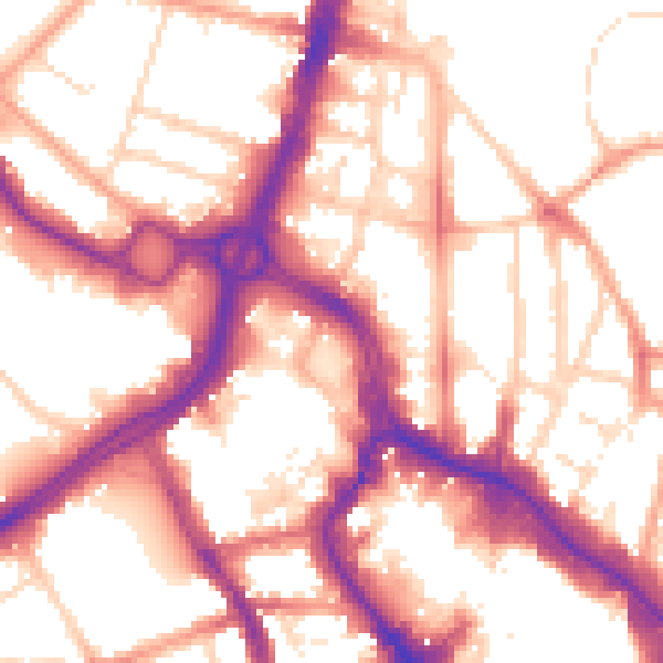
Daytime· 07:00 – 23:00
55.6dB

Night-time· 23:00 – 07:00
46.3dB