39a, St Johns Road, Watford, WD17 1QB
About 39a
39a is an end-of-terrace house in Watford (WD17 1QB). It has a recorded floor area of 160 m² (around 1722 sq ft), construction records dating it to 1900-1929 and council tax band C. The latest certificate (November 2019) shows a D (score 61), on the cusp of jumping into the C band. The recommended improvements would push it to C (score 80).
Held since August 2004 — that's 22 years off the open market, well above the local norm. Across the public record there are 4 sales, relatively high churn for a single property. At 160 m² the property is well over the postcode median (104 m² across 20 EPCs), placing it in the larger end of the local stock. Across 1997–2004, sale prices on this property compounded at 16% per year. Today's modelled estimate of £495,000 sits 160.5% above the 2004 sale of £190,000. On a £-per-square-foot basis, the last sale (£110/sq ft) was about 67.4% below the postcode norm.
Everything you need to know about 39a
The true value, the hidden risks and the full sale history, in one report.
30-day money-back guarantee

The data behind every report


Energy performance
39a's carbon output runs well above what efficient homes in the postcode produce.
EPC Rating
Planning history
39a has no planning applications on record.
Notable planning nearby
7applications of note in the surrounding area
We flagged 2 things worth checking at 39a
Independent checks surfaced things a buyer would want to understand before offering. The report explains each one in full, with the underlying data and what to ask.
- Signs of HMO activity in the area
- Larger development activity nearby
30-day money-back guarantee
Sales history & valuation
39a has more than doubled in price since the earliest registered sale in 1997.
£495,000
Modelled from EPC, postcode comparables and a sale-price growth of 16.0% per year over 7 years.
£190,000
Growth on file: 16.0% per year over 7 years.
Sales timeline
31 August 2004Most recent
£190,000
+8.6%over 1 year12 September 2002
£175,000
+136.6%over 3 years17 September 1998
£73,950
+7.2%over 11 months31 October 1997
£69,000
Median price across the last 5 sales in WD17 1QB: £398,000 (2023–2021).
Nearby sales in WD17 1QB
Versus other St Johns Road homes
39a is notably below the street on price per m².
Price per m²
£1,188
Street avg £3,521
Floor Area
160 m²
Street avg 143 m²
Habitable Rooms
6 rooms
Street avg 8 rooms
CO₂ Emissions
7.0 t/year
Street avg 4.3 t/year
Everything you need to know about 39a
The true value, the hidden risks and the full sale history, in one report.
30-day money-back guarantee
The data behind every report
Similar properties nearby
1 Franklin Road
WD17 1QD
10 Franklin Road
WD17 1QD
10 Westland Road
WD17 1QS
101 St Albans Road
WD17 1RD
103 105, Flat 3, St Albans Road
WD17 1RD
10 Terrace Gardens
WD17 1RB
1 Wellington Road
WD17 1QU
10 Canterbury Road
WD17 1QT
The neighbourhood at a glance
Rail-style transport is unusually close for this postcode.
Crime
10/mo
Steady year-on-year across the wider district.
Nearest stop
0.1 km
Beechen Grove North — bus stop.
Closest school
0.4 km
Watford St John's Church of England Primary School. 36 schools nearby.
Go deeper on the local area
The full report breaks down crime, transport links, schools and air quality in depth.
Road noise across the postcode
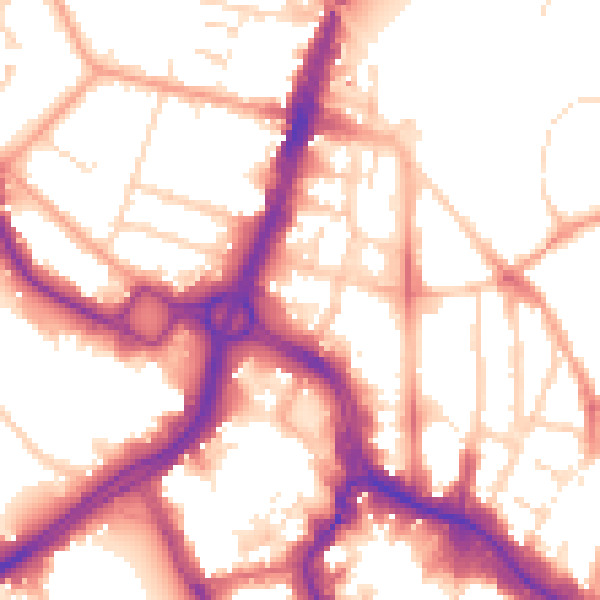
Daytime· 07:00 – 23:00
55.0dB

Night-time· 23:00 – 07:00
45.6dB