17 St Johns Road, Watford, WD17 1PW
About 17 St Johns Road
17 St Johns Road is a semi-detached house in Watford (WD17 1PW). It has a recorded floor area of 80 m² (around 861 sq ft). The latest certificate (September 2018) shows a C (score 80), near the top of the C band.
2 planning records sit against the property, 0 approved, 0 refused.
Everything you need to know about 17 St Johns Road
The true value, the hidden risks and the full sale history, in one report.
30-day money-back guarantee

The data behind every report


Energy performance
EPC Rating
Planning history
Planning history includes recorded demolition works, indicating a major rebuild phase at this address.
- Nov 2017ExtensionConditionsIn report
Minor material amendment to the scheme ref: 14/01153/FUL approved on 24.10.2014 for demolition of existing single storey side and rear extensions and creation of three, 3 bedroom terraced houses and one, 3 bedroom detached dwelling along with conversion and refurbishment of the existing flat block to create two, 2 bedroom flats. AMENDED DESCRIPTION
- Documents
- 28 docs on file
- Reference
- 17/00914/VAR
- Oct 2015DemolitionFullIn report
Demolition of existing rear ground floor extension and infill rear elevation wall.
- Documents
- 11 docs on file
- Reference
- 15/01190/FUL
We flagged 2 things worth checking at 17 St Johns Road
Independent checks surfaced things a buyer would want to understand before offering. The report explains each one in full, with the underlying data and what to ask.
- Signs of HMO activity in the area
- Larger development activity nearby
30-day money-back guarantee
Sales history & valuation
17 St Johns Road has no Land Registry sales on file, suggesting it has stayed in the same hands since registration began.
£297,000
Modelled from EPC, postcode comparables.
No sales recorded with HM Land Registry
That can mean the property has never traded since the registry began publishing in 1995, was a new build that hasn't been registered yet, or is held in the same hands long-term.
Everything you need to know about 17 St Johns Road
The true value, the hidden risks and the full sale history, in one report.
30-day money-back guarantee
The data behind every report
Similar properties nearby
10 Elm Court, Albert Road South
WD17 1QQ
109c, St Albans Road
WD17 1RD
10 Wellington Road
WD17 1QU
103 105, Flat 1, St Albans Road
WD17 1RD
103 105, Flat 2, St Albans Road
WD17 1RD
1 Orphanage Road
WD17 1PG
109a, St Albans Road
WD17 1RD
1 Terrace Gardens
WD17 1RB
The neighbourhood at a glance
Rail-style transport is unusually close for this postcode.
Crime
10/mo
Steady year-on-year across the wider district.
Nearest stop
0.1 km
St John's Road — bus stop.
Closest school
0.3 km
Watford St John's Church of England Primary School. 35 schools nearby.
Go deeper on the local area
The full report breaks down crime, transport links, schools and air quality in depth.
Road noise across the postcode
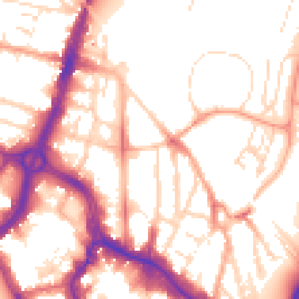
Daytime· 07:00 – 23:00
54.3dB

Night-time· 23:00 – 07:00
44.9dB