6 Woodford Road, Watford, WD17 1PA
About 6 Woodford Road
6 Woodford Road is a one-bedroom semi-detached house in Watford (WD17 1PA). It has a recorded floor area of 239 m² (around 2573 sq ft), construction records dating it to 1900-1929 and council tax band E. The latest certificate (March 2025) shows a D (score 65), on the cusp of jumping into the C band. When first surveyed in July 2009 the rating was E, the property has climbed 1 band since. Between certificates, hot-water efficiency went from Average to Good and lighting went from Average to Very Good. The recommended improvements would push it to C (score 79).
Untraded for 16 years, with the last transfer in March 2010. At 239 m² the property is well over the postcode median (65 m² across 21 EPCs), placing it in the larger end of the local stock. Today's modelled estimate of £698,000 sits 179.2% above the 2010 sale of £250,000. On a £-per-square-foot basis, the last sale (£97/sq ft) was about 48.2% below the postcode norm. 2 planning records sit against the property, 1 approved, 1 refused.
What this property has
Inside
- Bedrooms1
Everything you need to know about 6 Woodford Road
The true value, the hidden risks and the full sale history, in one report.
30-day money-back guarantee

The data behind every report


Energy performance
6 Woodford Road's carbon output runs well above what efficient homes in the postcode produce.
EPC Rating
Property Improvements
Changes detected from historical EPC data
Heating controls upgraded for better temperature management
Hot water system upgraded
Roof insulation improved
More low energy lighting installed
Hot water efficiency decreased
Planning history
- Aug 2010ConversionAmendmentIn report
Certificate of lawfulness for proposed development incorporating the installation of full width dormer to the rear (amended form)
- Documents
- 31 docs on file
- Reference
- 10/00502/LDC
- Feb 2010HMOFullIn report
Conversion of single dwelling house to 5 (no.) unit as an House in Multiple Occupation (HMO) (Amended description)
- Documents
- 50 docs on file
- Reference
- 10/00026/FUL
We flagged 2 things worth checking at 6 Woodford Road
Independent checks surfaced things a buyer would want to understand before offering. The report explains each one in full, with the underlying data and what to ask.
- Signs of HMO activity in the area
- Larger development activity nearby
30-day money-back guarantee
Sales history & valuation
6 Woodford Road valuation sits well clear of the typical sold price in this postcode.
£698,000
Modelled from EPC, postcode comparables.
£250,000
Recorded with HM Land Registry.
Sales timeline
30 March 2010Most recent
£250,000
Median price across the last 5 sales in WD17 1PA: £260,000 (2025–2018).
Nearby sales in WD17 1PA
Versus other Woodford Road homes
6 Woodford Road is notably below the street on price per m².
Price per m²
£1,046
Street avg £2,807
Floor Area
239 m²
Street avg 117 m²
Habitable Rooms
11 rooms
Street avg 6 rooms
CO₂ Emissions
8.8 t/year
Street avg 4.7 t/year
Everything you need to know about 6 Woodford Road
The true value, the hidden risks and the full sale history, in one report.
30-day money-back guarantee
The data behind every report
Similar properties nearby
1 Elm Court, Albert Road South
WD17 1QQ
10 Caledonian Court, West Street
WD17 1RY
10 Woodford Road
WD17 1PA
10a, Clarendon Road
WD17 1DY
1 Franklin Road
WD17 1QD
10 Franklin Road
WD17 1QD
10 Terrace Gardens
WD17 1RB
1 Orphanage Road
WD17 1PG
The neighbourhood at a glance
Rail-style transport is unusually close for this postcode.
Crime
10/mo
Steady year-on-year across the wider district.
Nearest stop
0.2 km
Watford Junction Rail Station — railway station.
Closest school
0.4 km
Watford St John's Church of England Primary School. 35 schools nearby.
Go deeper on the local area
The full report breaks down crime, transport links, schools and air quality in depth.
Road noise across the postcode
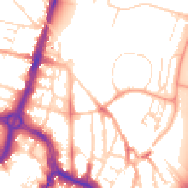
Daytime· 07:00 – 23:00
53.6dB

Night-time· 23:00 – 07:00
44.1dB