7 Hughes Street, Warrington, WA4 1BQ
About 7 Hughes Street
7 Hughes Street is a two-bedroom end-of-terrace house in Warrington (WA4 1BQ). It has a recorded floor area of 89 m² (around 958 sq ft), construction records dating it to 1900-1929 and council tax band A. The latest certificate (April 2023) shows an F (score 36), near the bottom of the EPC scale. The recommended improvements would lift it to B (score 83), a 4-band jump.
At 89 m² the property is well over the postcode median (68 m² across 6 EPCs), placing it in the larger end of the local stock. Across 1999–2023, sale prices on this property compounded at 9.1% per year. Today's modelled estimate of £146,000 is 46% above the 2023 sale price. On a £-per-square-foot basis, the last sale (£104/sq ft) was about 42.7% below the postcode norm. Last sale on file: £100,000 in July 2023.
What this property has
Inside
- Bedrooms2
- Bathrooms2
Everything you need to know about 7 Hughes Street
The true value, the hidden risks and the full sale history, in one report.
Pick your report · every report is £14.99
One time fee only - money back guarantee

The data behind every report


Energy performance
7 Hughes Street's carbon output runs well above what efficient homes in the postcode produce.
EPC Rating
Get a survey for this property
Level 3 Building Survey
Because the property was built before 1919, has been extended more than once, and has solid (non-cavity) walls, we believe a Level 3 building survey should be considered.
From £820 · Includes VAT
Planning history
7 Hughes Street has no planning applications on record.
A planning report still maps activity across the surrounding area and reads this property's extension & conversion potential.
Sales history & valuation
7 Hughes Street has more than quadrupled in price since its earliest registered sale in 1999.
£146,000
Modelled from EPC, postcode comparables and a sale-price growth of 9.1% per year over 24 years.
£100,000
Growth on file: 9.1% per year over 24 years.
Sales timeline
17 July 2023Most recent
£100,000
+733.3%over 24 years8 March 1999
£12,000
Median price across the last 5 sales in WA4 1BQ: £112,500 (2022–2010).
Nearby sales in WA4 1BQ
Versus other Hughes Street homes
Price per m² for 7 Hughes Street lags the street by a wide margin.
Price per m²
£1,124
Street avg £1,660
Floor Area
89 m²
Street avg 68 m²
Habitable Rooms
4 rooms
Street avg 4 rooms
CO₂ Emissions
7.9 t/year
Street avg 6.1 t/year
Everything you need to know about 7 Hughes Street
The true value, the hidden risks and the full sale history, in one report.
Pick your report · every report is £14.99
One time fee only - money back guarantee
The data behind every report
Similar properties nearby
1 Clearwater Quays
WA4 1DE
1 Clelland Street
WA4 1ET
1 Bruntleigh Avenue
WA4 1NU
1 Brook Avenue
WA4 1SW
1 Charlton Street
WA4 1LX
1 Bridge Avenue
WA4 1RJ
1 Beech Grove
WA4 1EG
1 Brindley Avenue
WA4 1RU
The neighbourhood at a glance
Crime
2/mo
Steady year-on-year across the wider district.
Nearest stop
0.2 km
Grove Street — bus stop.
Closest school
0.4 km
Priestley College. 35 schools nearby.
Go deeper on the local area
A Local Area report breaks down crime, transport links, schools and air quality in depth.
Road noise across the postcode
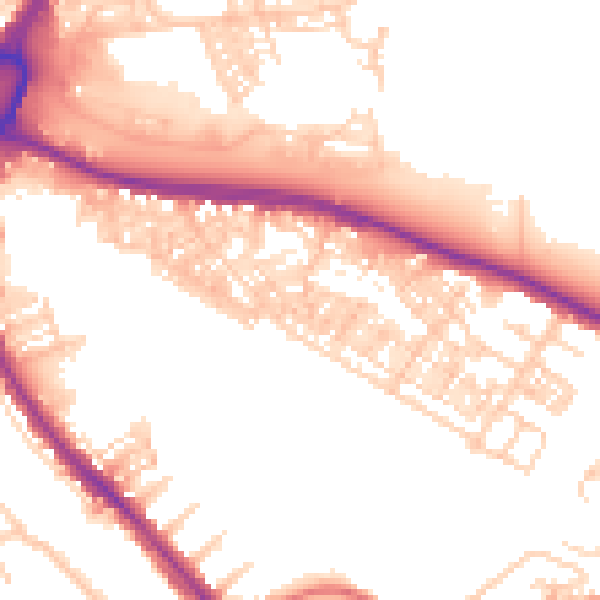
Daytime· 07:00 – 23:00
53.0dB

Night-time· 23:00 – 07:00
43.5dB