85 St Marys Street, Warrington, WA4 1BH
About 85 St Marys Street
85 St Marys Street is a four-bedroom mid-terrace house in Warrington (WA4 1BH). It has a recorded floor area of 140 m² (around 1507 sq ft), construction records dating it to 1930-1949 and council tax band B. Period features are noted in the property record. The latest certificate (June 2020) shows a C (score 70).
At 140 m² the property is well over the postcode median (98 m² across 15 EPCs), placing it in the larger end of the local stock. Its energy rating outperforms most of the postcode (better than 80% of similar EPCs). Across 2015–2020, sale prices on this property compounded at 16.9% per year. Today's modelled estimate of £297,000 is 41.4% above the 2020 sale price. Sold October 2020 for £210,000.
What this property has
Inside
- Bedrooms4
- Bathrooms1
- EnsuiteYes
Building
- Period featuresYes
- RefurbishedYes
Everything you need to know about 85 St Marys Street
The true value, the hidden risks and the full sale history, in one report.
Pick your report · every report is £14.99
One time fee only - money back guarantee

The data behind every report


Energy performance
EPC Rating
Get a survey for this property
Level 3 Building Survey
Because the property has been extended more than once, we believe a Level 3 building survey should be considered.
From £885 · Includes VAT
Planning history
85 St Marys Street has no planning applications on record.
A planning report still maps activity across the surrounding area and reads this property's extension & conversion potential.
Sales history & valuation
Sale price has at least doubled since 2015.
£297,000
Modelled from EPC, postcode comparables and a sale-price growth of 16.9% per year over 6 years.
£210,000
Growth on file: 16.9% per year over 6 years.
Sales timeline
11 October 2020Most recent
£210,000
+140.0%over 5 years6 March 2015
£87,500
Median price across the last 5 sales in WA4 1BH: £185,000 (2025–2023).
Nearby sales in WA4 1BH
91 St Marys Street, Warrington, WA4 1BH
Sold Feb 2025
£153,00079 St Marys Street, Warrington, WA4 1BH
Sold Dec 2024
£310,000116 St Marys Street, Warrington, WA4 1BH
Sold Apr 2024
£205,00098 St Marys Street, Warrington, WA4 1BH
Sold Jun 2023
£154,50096 St Marys Street, Warrington, WA4 1BH
Sold Feb 2022
£135,000
Versus other St Marys Street homes
Floor Area for 85 St Marys Street runs comfortably ahead of the street norm.
Price per m²
£1,500
Street avg £1,604
Floor Area
140 m²
Street avg 101 m²
Habitable Rooms
5 rooms
Street avg 5 rooms
CO₂ Emissions
4.6 t/year
Street avg 5.0 t/year
Everything you need to know about 85 St Marys Street
The true value, the hidden risks and the full sale history, in one report.
Pick your report · every report is £14.99
One time fee only - money back guarantee
The data behind every report
Similar properties nearby
1 Birch Grove, Latchford
WA4 1EQ
1 Broadbent Avenue
WA4 1PX
1 Cedar Grove
WA4 1EJ
1 Blackley Close, Latchford
WA4 1JA
1 Brindley Avenue
WA4 1RU
1 Beech Grove
WA4 1EG
1 Bridge Avenue
WA4 1RJ
1 Charlton Street
WA4 1LX
The neighbourhood at a glance
Crime
2/mo
Steady year-on-year across the wider district.
Nearest stop
0.3 km
Grove Street — bus stop.
Closest school
0.3 km
Priestley College. 34 schools nearby.
Go deeper on the local area
A Local Area report breaks down crime, transport links, schools and air quality in depth.
Road noise across the postcode
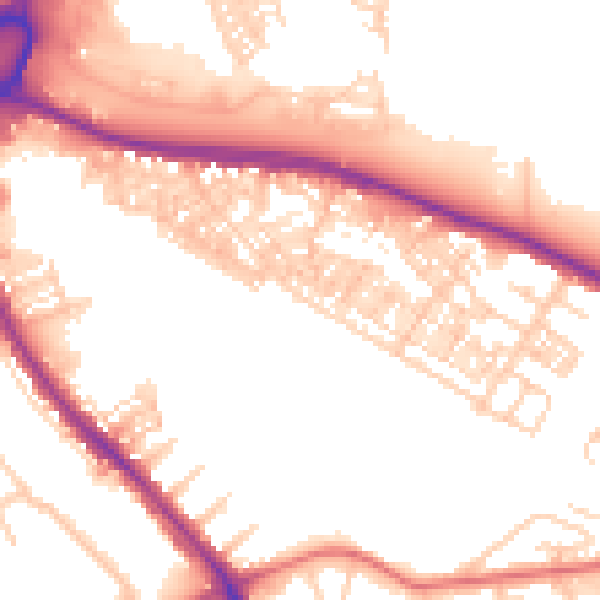
Daytime· 07:00 – 23:00
53.2dB

Night-time· 23:00 – 07:00
43.6dB