15 Barham Court, Birchwood, Warrington, WA3 6ND
About 15 Barham Court
15 Barham Court is a three-bedroom mid-terrace house in Birchwood, Warrington, Warrington (WA3 6ND). It has a recorded floor area of 89 m² (around 958 sq ft), construction records dating it to 1996-2002 and council tax band A. The latest certificate (August 2017) shows a D (score 68), on the cusp of jumping into the C band. The recommended improvements would lift it to B (score 84), a 2-band jump.
Across 2003–2017, sale prices on this property compounded at 2.8% per year. Today's modelled estimate of £202,000 sits 61.6% above the 2017 sale of £125,000. Last changed hands 9 years ago, in September 2017. One historical planning record sits against the property in 2006.
What this property has
Inside
- Bedrooms3
Everything you need to know about 15 Barham Court
The true value, the hidden risks and the full sale history, in one report.
Pick your report · every report is £14.99
One time fee only - money back guarantee

The data behind every report


Energy performance
Recommended upgrades on file would lift this property by multiple EPC bands.
EPC Rating
Get a survey for this property
Level 2 HomeBuyer Report
We've checked 10 risk factors against the available data for this property and believe a Level 2 HomeBuyer Report could be a suitable option for you.
From £545 · Includes VAT
Planning history
1 application on record at 15 Barham Court, Birchwood, Warrington, WA3 6ND
- Mar 2006ConservatoryFullOutcome in report
Extension: Single storey · Rear of property
Proposed single storey rear conservatory
Extension- Reference
- 2006/07638
Unlock 15 Barham Court, Birchwood, Warrington, WA3 6ND's full planning history
You're seeing the shape of it. The report has the substance.
- Every decision — granted, refused or withdrawn
- All 1 application on this property in full
- What the pattern means for extending or converting here
One time fee only - money back guarantee
Sales history & valuation
15 Barham Court valuation sits well clear of the typical sold price in this postcode.
£202,000
Modelled from EPC, postcode comparables and a sale-price growth of 2.8% per year over 14 years.
£125,000
Growth on file: 2.8% per year over 14 years.
Sales timeline
18 September 2017Most recent
£125,000
+40.4%over 13 years27 February 2004
£89,000
+4.7%29 September 2003
£85,000
Median price across the last 5 sales in WA3 6ND: £175,250 (2025–2019).
Nearby sales in WA3 6ND
5 Barham Court, Birchwood, Warrington, WA3 6ND
Sold Jun 2025
£233,00021 Barham Court, Birchwood, Warrington, WA3 6ND
Sold Jul 2024
£175,25010 Barham Court, Birchwood, Warrington, WA3 6ND
Sold Feb 2022
£120,00017 Barham Court, Birchwood, Warrington, WA3 6ND
Sold Oct 2019
£130,0001 Barham Court, Birchwood, Warrington, WA3 6ND
Sold Apr 2019
£130,000
Versus other Barham Court homes
Price per m²
£1,404
Street avg £1,466
Floor Area
89 m²
Street avg 85 m²
Habitable Rooms
5 rooms
Street avg 5 rooms
CO₂ Emissions
3.2 t/year
Street avg 3.5 t/year
Everything you need to know about 15 Barham Court
The true value, the hidden risks and the full sale history, in one report.
Pick your report · every report is £14.99
One time fee only - money back guarantee
The data behind every report
Similar properties nearby
1 Armstrong Close, Birchwood
WA3 6DH
1 Barham Court, Birchwood
WA3 6ND
1 Bowland Close, Birchwood
WA3 6TJ
1 Burrough Close, Birchwood
WA3 6QF
1 Bramshill Close, Birchwood
WA3 6TY
1 Colebrooke Close, Birchwood
WA3 6RY
1 Dove Close, Birchwood
WA3 6QH
1 Charnwood Close, Birchwood
WA3 6TG
The neighbourhood at a glance
Crime
1/mo
Steady year-on-year across the wider district.
Nearest stop
0.1 km
Heathfield House — bus stop.
Closest school
0.5 km
Locking Stumps Community Primary School. 16 schools nearby.
Go deeper on the local area
A Local Area report breaks down crime, transport links, schools and air quality in depth.
Road noise across the postcode
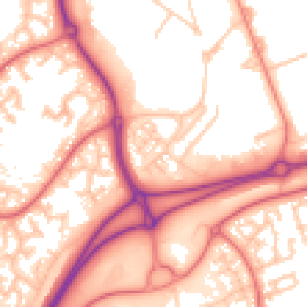
Daytime· 07:00 – 23:00
56.8dB

Night-time· 23:00 – 07:00
47.9dB