10 Barham Court, Birchwood, Warrington, WA3 6ND
About 10 Barham Court
10 Barham Court is a mid-terrace house in Birchwood, Warrington, Warrington (WA3 6ND). It has a recorded floor area of 92 m² (around 990 sq ft), construction records dating it to 1967-1975 and council tax band A. The latest certificate (July 2015) shows an E (score 51), well below the UK norm with real room to improve. The recommended improvements would lift it to B (score 87), a 3-band jump. The latest certificate is from July 2015, so improvements made since then won't be reflected.
It lags the bulk of the postcode on energy efficiency (less efficient than 89% of similar EPCs). Today's modelled estimate of £179,000 is 49.2% above the 2022 sale price. Most recent transfer: February 2022 at £120,000. That sale was during the post-pandemic price surge, when transactions cleared materially above pre-2020 trend.
Everything you need to know about 10 Barham Court
The true value, the hidden risks and the full sale history, in one report.
Pick your report · every report is £14.99
One time fee only - money back guarantee

The data behind every report


Energy performance
Recommended upgrades on file would lift this property by multiple EPC bands.
EPC Expired
This certificate is over 10 years old and is no longer valid.Expired 06 Jul 2025
EPC Rating
Get a survey for this property
Level 2 HomeBuyer Report
We've checked 10 risk factors against the available data for this property and believe a Level 2 HomeBuyer Report could be a suitable option for you.
From £495 · Includes VAT
Planning history
10 Barham Court has no planning applications on record.
A planning report still maps activity across the surrounding area and reads this property's extension & conversion potential.
Sales history & valuation
The latest sale landed in the post-pandemic price surge — useful context when reading the figure.
£179,000
Modelled from EPC, postcode comparables.
£120,000
Recorded with HM Land Registry.
Sales timeline
18 February 2022Most recent
£120,000
Median price across the last 5 sales in WA3 6ND: £175,250 (2025–2019).
Nearby sales in WA3 6ND
5 Barham Court, Birchwood, Warrington, WA3 6ND
Sold Jun 2025
£233,00021 Barham Court, Birchwood, Warrington, WA3 6ND
Sold Jul 2024
£175,25017 Barham Court, Birchwood, Warrington, WA3 6ND
Sold Oct 2019
£130,0001 Barham Court, Birchwood, Warrington, WA3 6ND
Sold Apr 2019
£130,00015 Barham Court, Birchwood, Warrington, WA3 6ND
Sold Sept 2017
£125,000
Versus other Barham Court homes
EPC Rating for 10 Barham Court lags the street by a wide margin.
Price per m²
£1,304
Street avg £1,480
Floor Area
92 m²
Street avg 85 m²
Habitable Rooms
5 rooms
Street avg 5 rooms
CO₂ Emissions
5.9 t/year
Street avg 3.3 t/year
Everything you need to know about 10 Barham Court
The true value, the hidden risks and the full sale history, in one report.
Pick your report · every report is £14.99
One time fee only - money back guarantee
The data behind every report
Similar properties nearby
1 Bowland Close, Birchwood
WA3 6TJ
1 Burrough Close, Birchwood
WA3 6QF
1 Dalby Close, Birchwood
WA3 6TD
1 Arden Close, Birchwood
WA3 6UP
1 Chaffinch Close, Birchwood
WA3 6PW
1 Ash Road, Rixton
WA3 6LW
1 Curlew Grove, Birchwood
WA3 6NX
1 Armstrong Close, Birchwood
WA3 6DH
The neighbourhood at a glance
Crime
1/mo
Steady year-on-year across the wider district.
Nearest stop
0.1 km
Heathfield House — bus stop.
Closest school
0.5 km
Locking Stumps Community Primary School. 16 schools nearby.
Go deeper on the local area
A Local Area report breaks down crime, transport links, schools and air quality in depth.
Road noise across the postcode
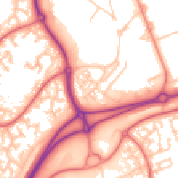
Daytime· 07:00 – 23:00
56.8dB

Night-time· 23:00 – 07:00
47.9dB